Else
(as in if)
Bridges of the Hudson River
by Else
I’ve made it a goal to visit every bridge of the Hudson River. I’m going to use this page to document them. This is still very much in progress (even for the bridges I’ve visited before).
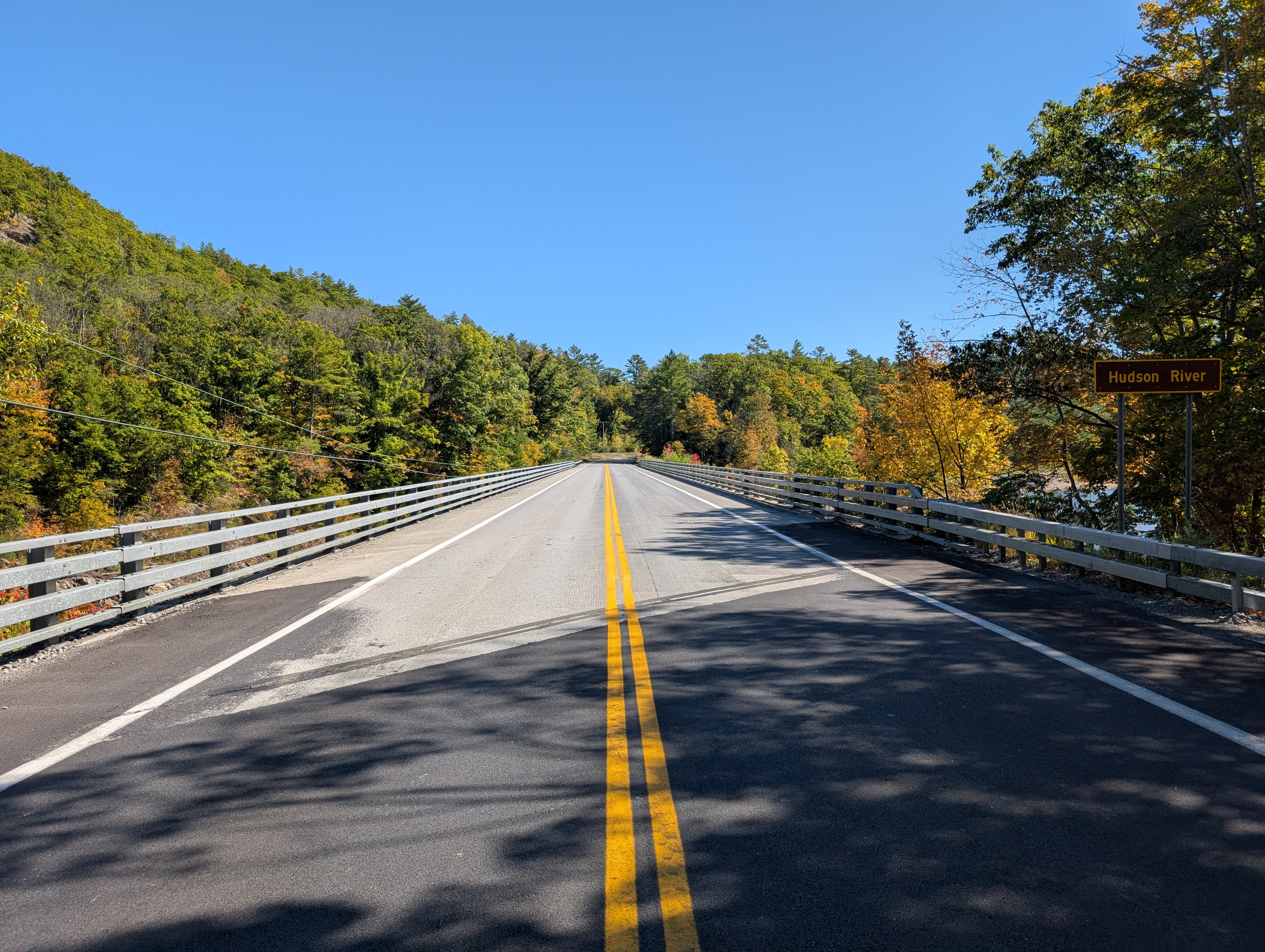
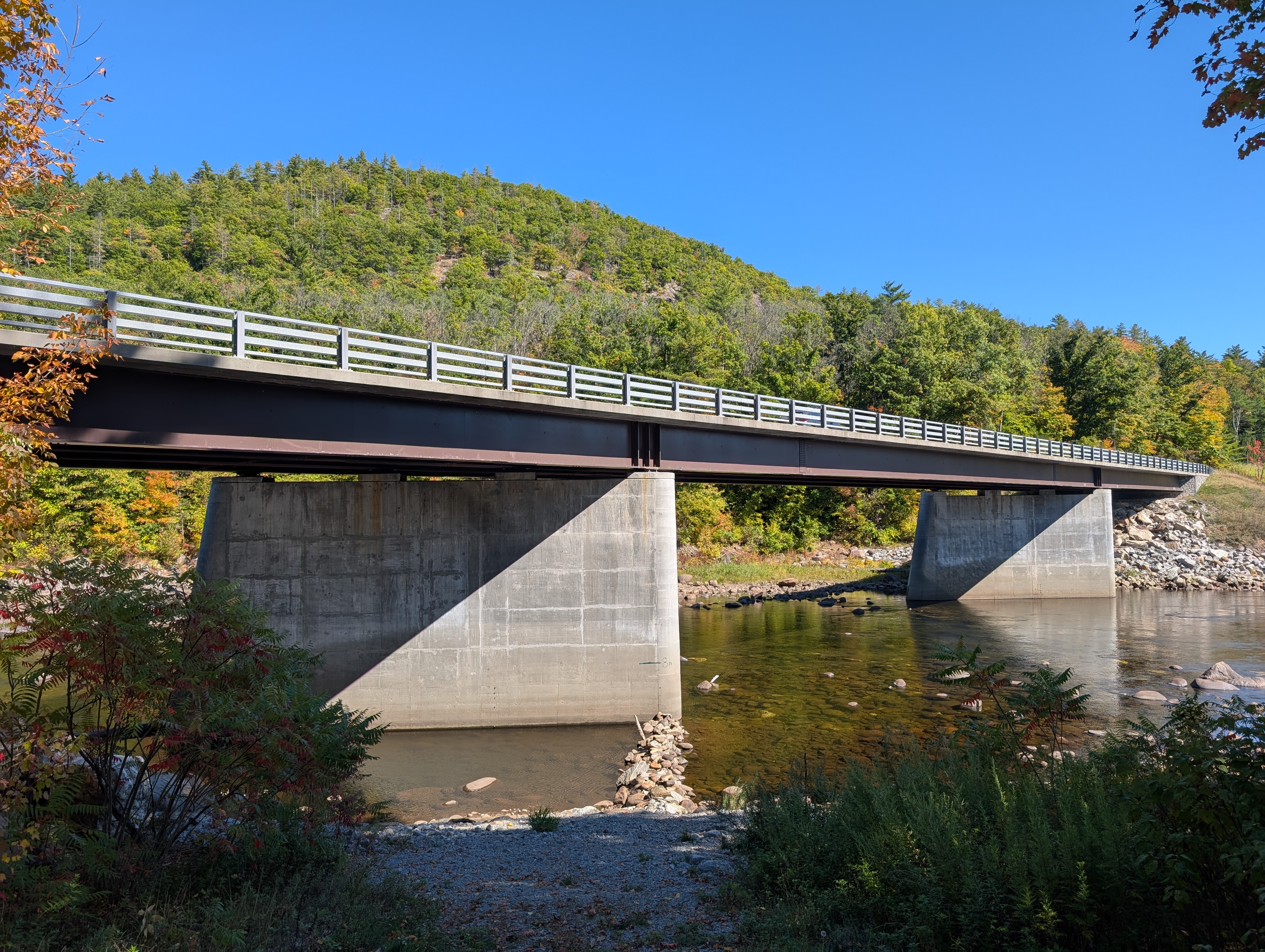
Adirondack segment
The river starts high in the mountains. The river is beautiful here, but not yet navigable. Bridges are short in height and length, and often frustratingly mundane. My hot take is that a river of this grandeur deserves remarkable bridges all the way to the top, but I suppose taxpayers have better things to spend money on.
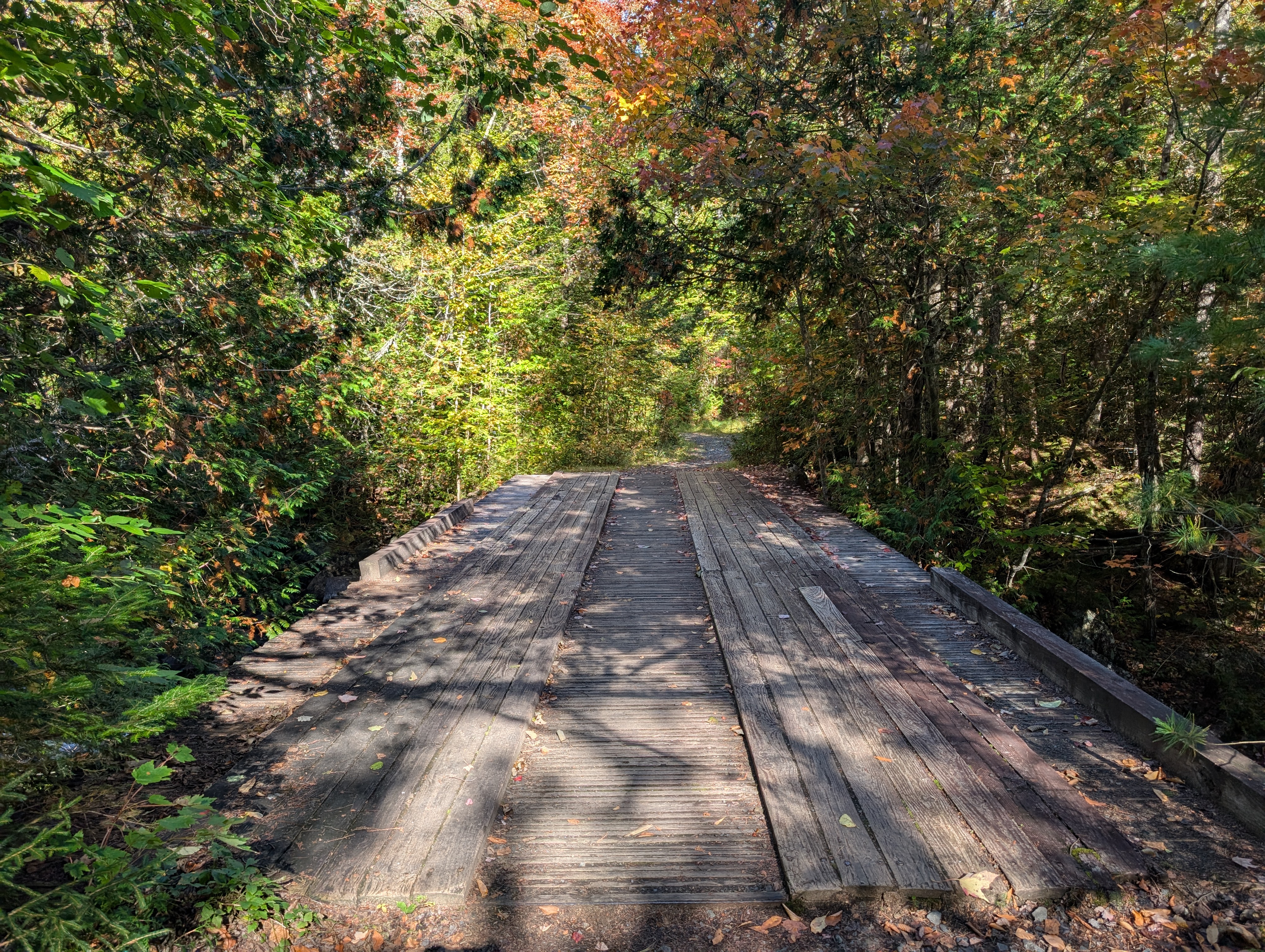
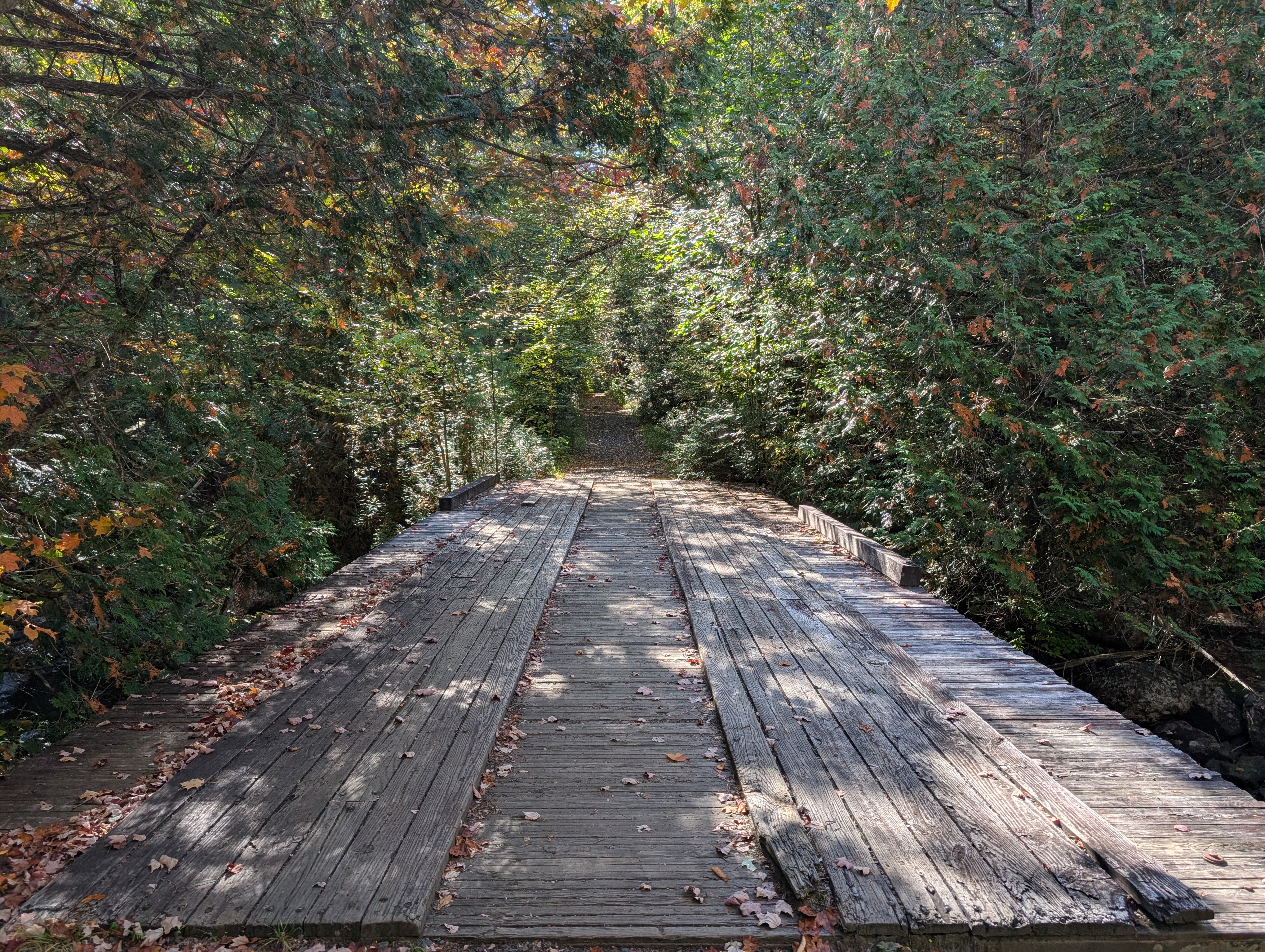
Tahawus footbridge
A simple footbridge carries the Upper Works Trail over the river, just below the source at Henderson Lake. Wikipedia calls it wooden, but only the surface is; the structure itself is steel. I first crossed this bridge on a scouting mission for my observance of the 2024 eclipse. (I had intended to watch at Henderson Lake, but instead ended up watching from the trailhead. Perhaps I should post that story here at some point.)
“Tahawus”, says Wikipedia, has no origin in any known language. In other words, someone made it up. The supposed meaning is “cloud splitter”, which leads me to believe that Lake Tear of the Clouds (the river’s highest, rather than largest, source) is not tear as in crying as I had always parsed it, but tear as in rip.
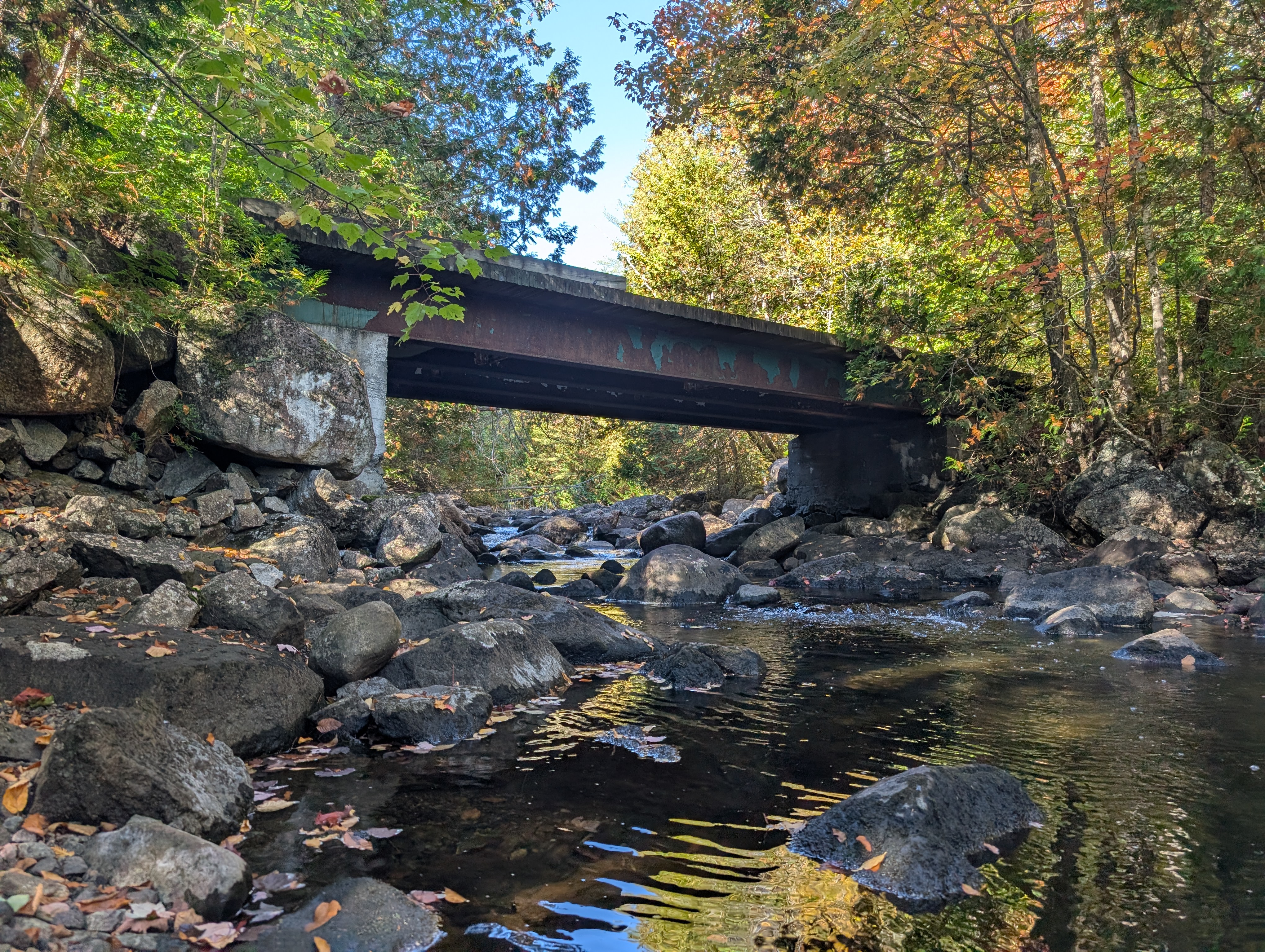
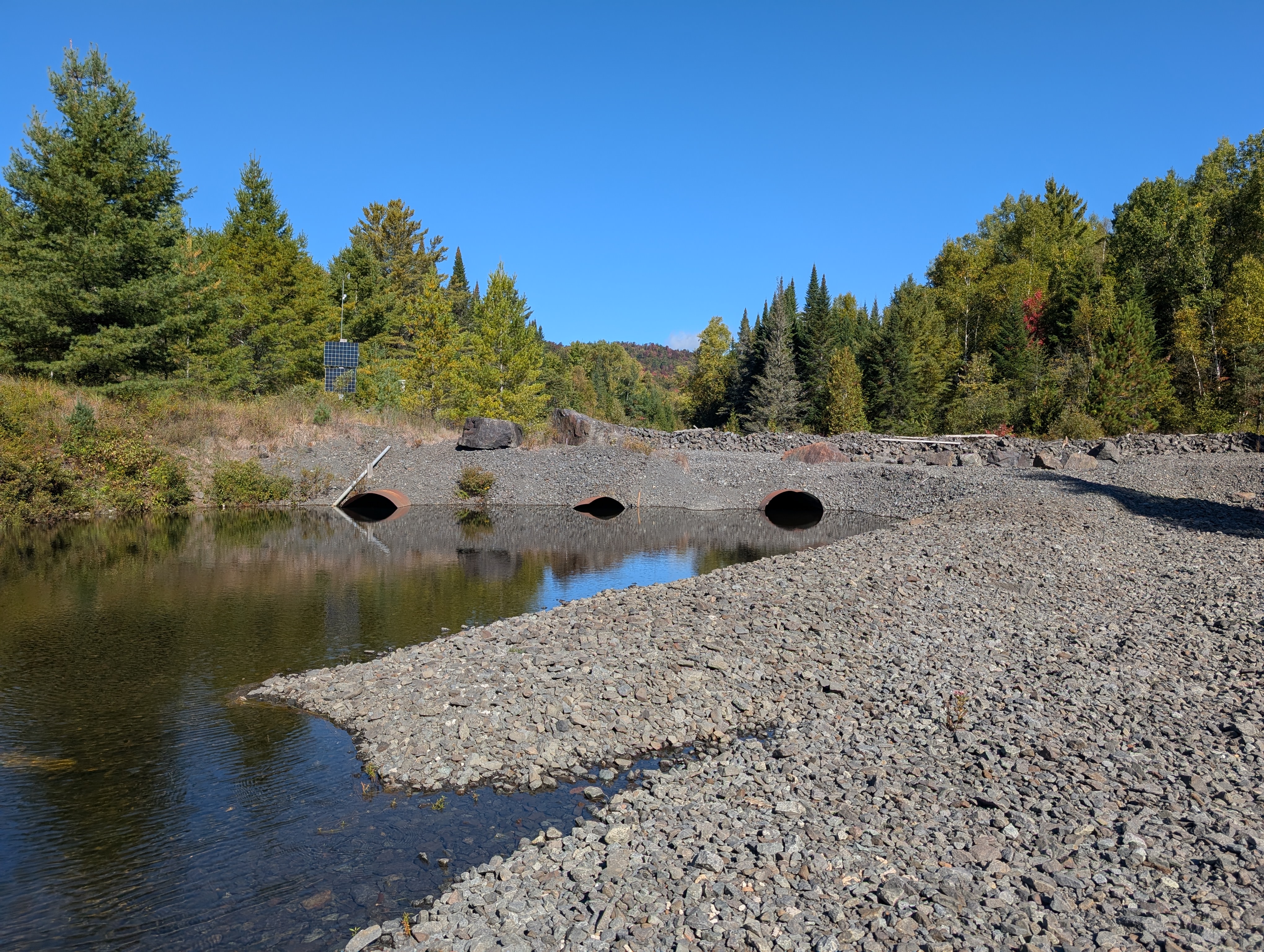
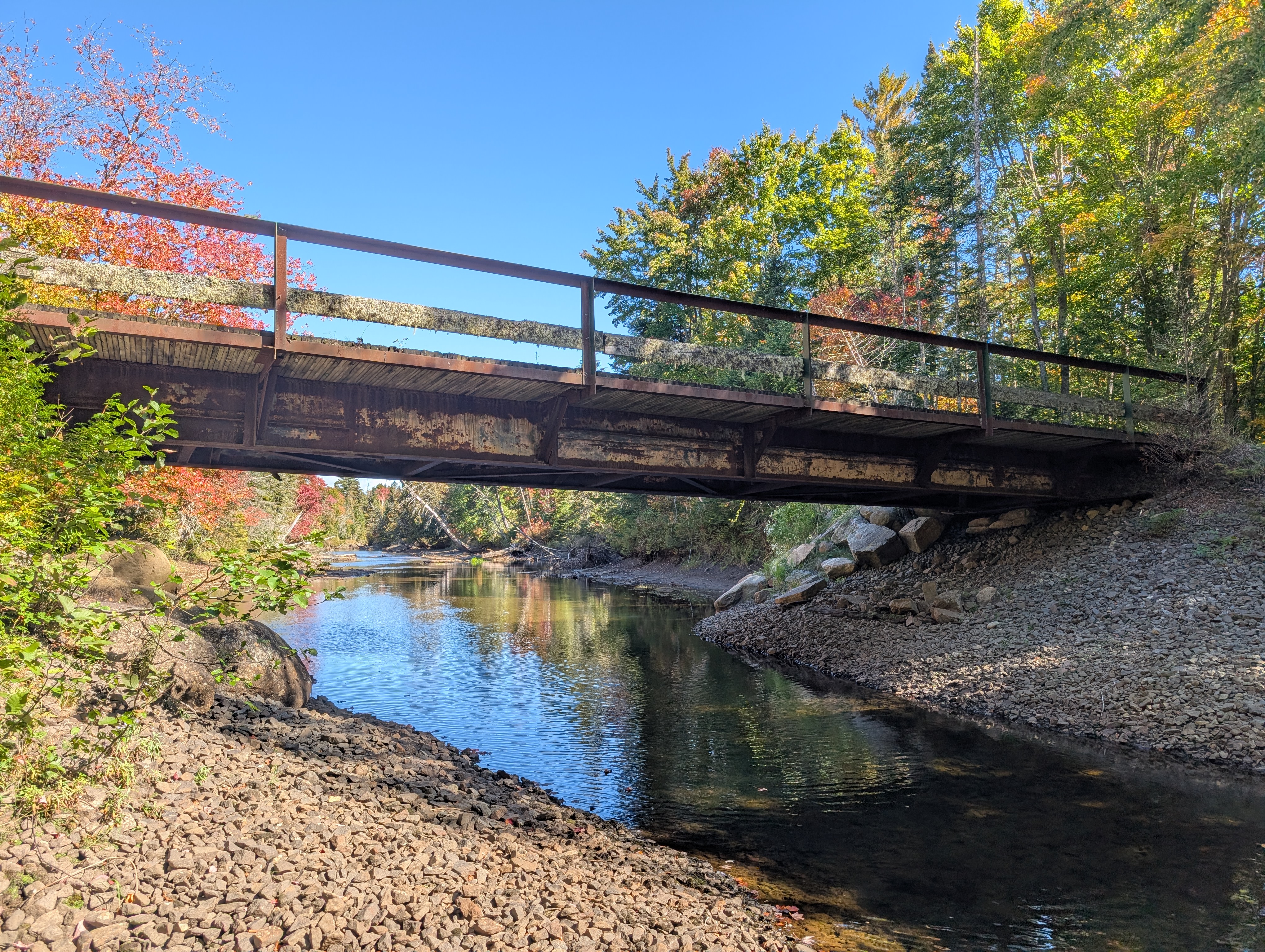
Tahawus mine crossing
This hideous mess is not so much a bridge as a culvert. The beautiful river is stuffed unceremoniously through steel tubes under a pile of gravel. It appears to be used as access between mining areas on opposite sides of the river. It is trespassing to cross this bridge, but I did anyway.
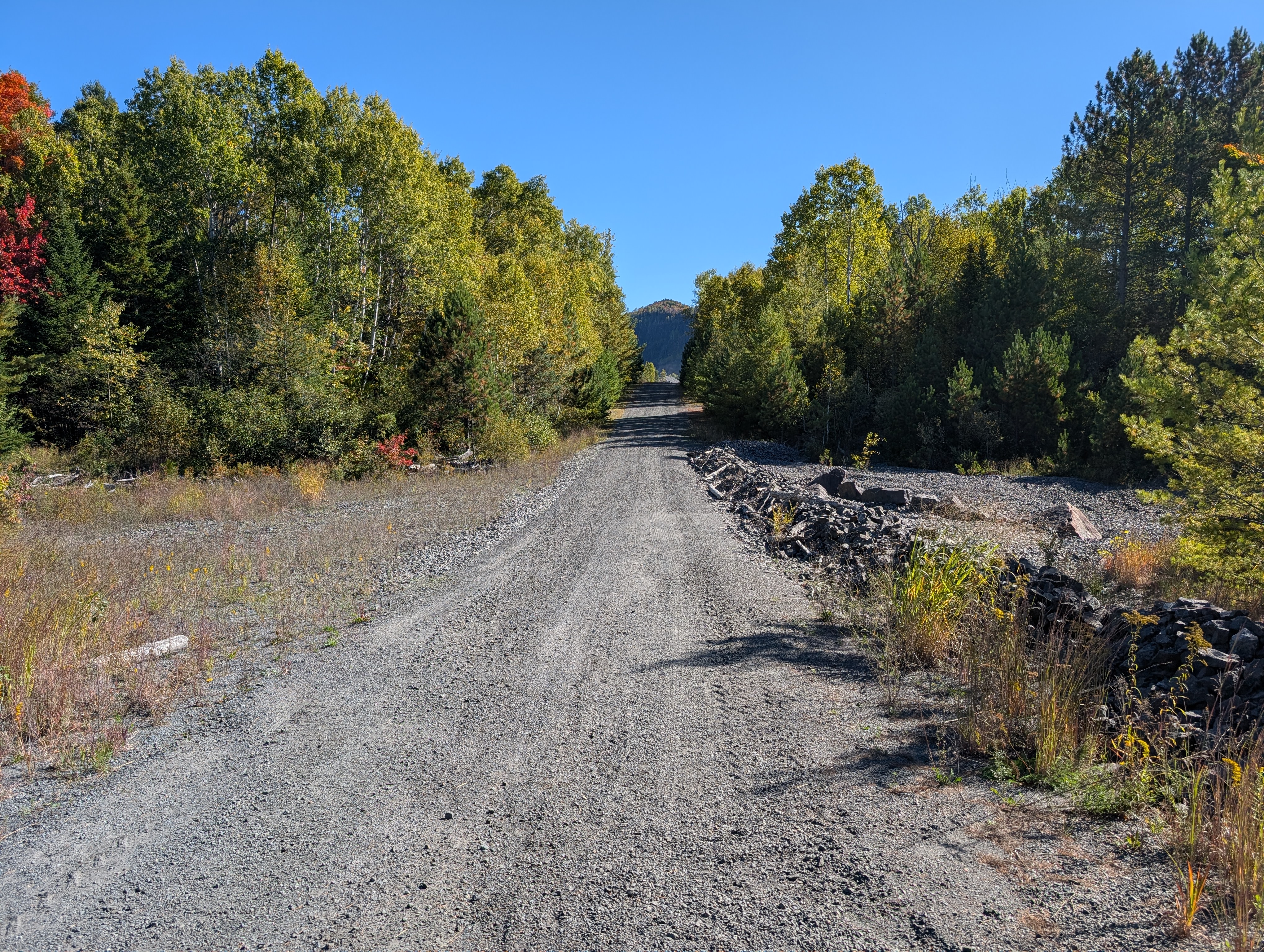
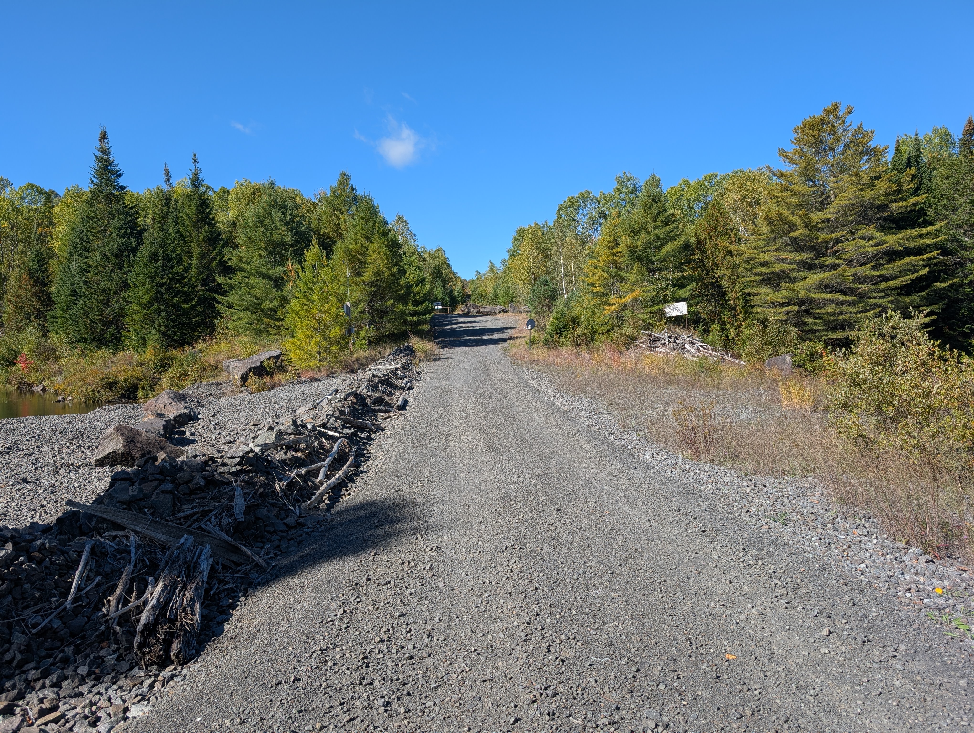
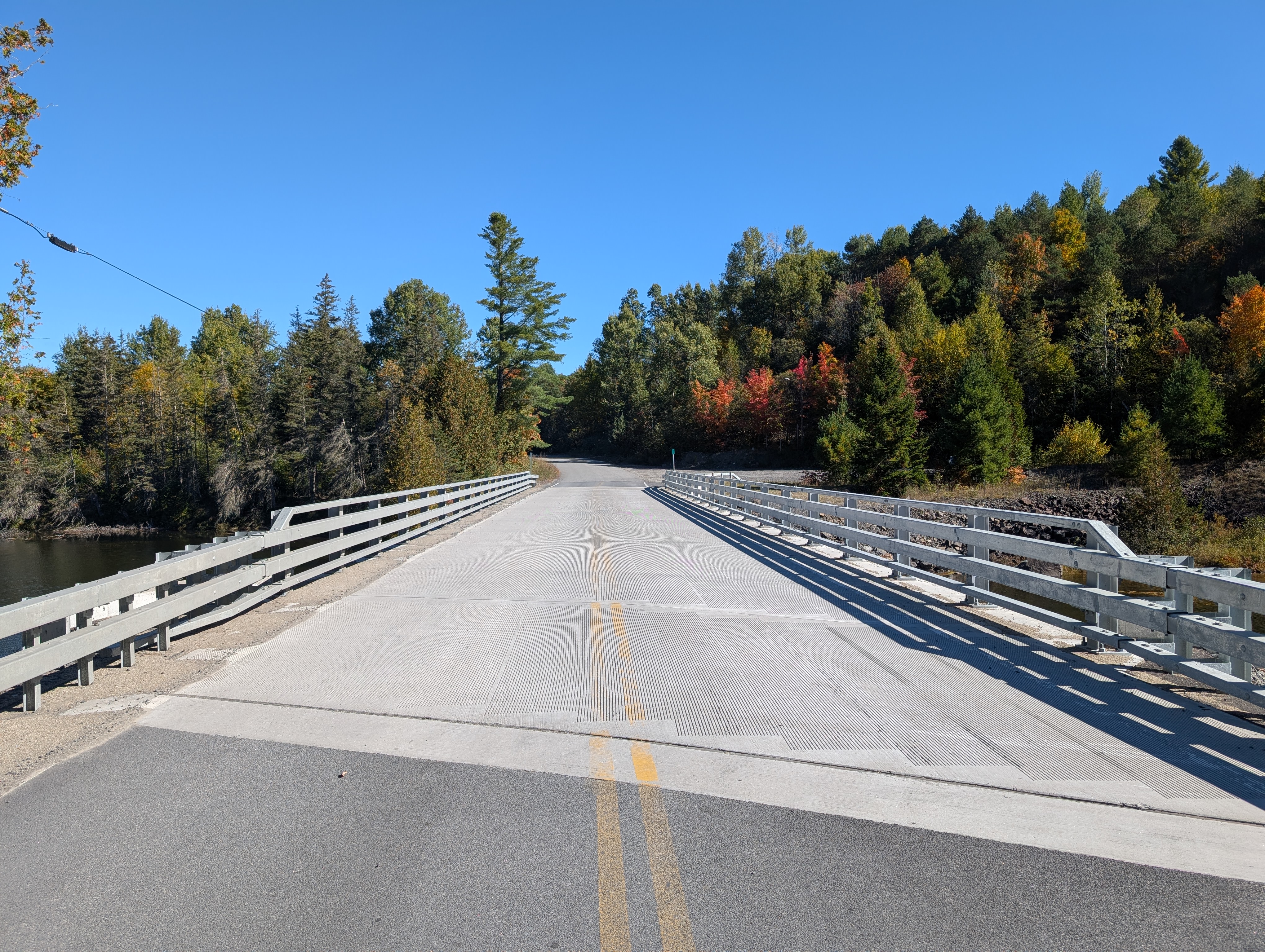
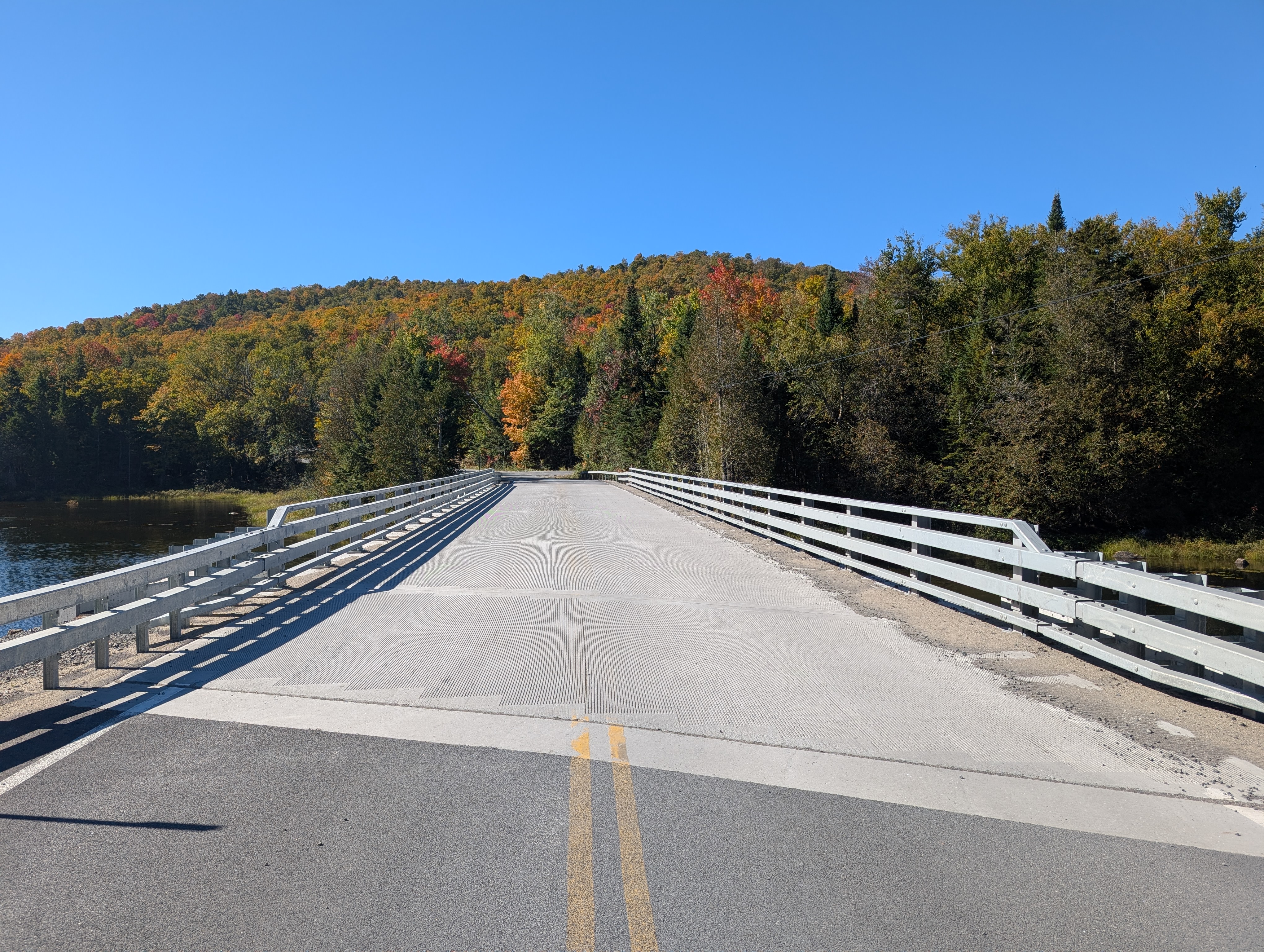
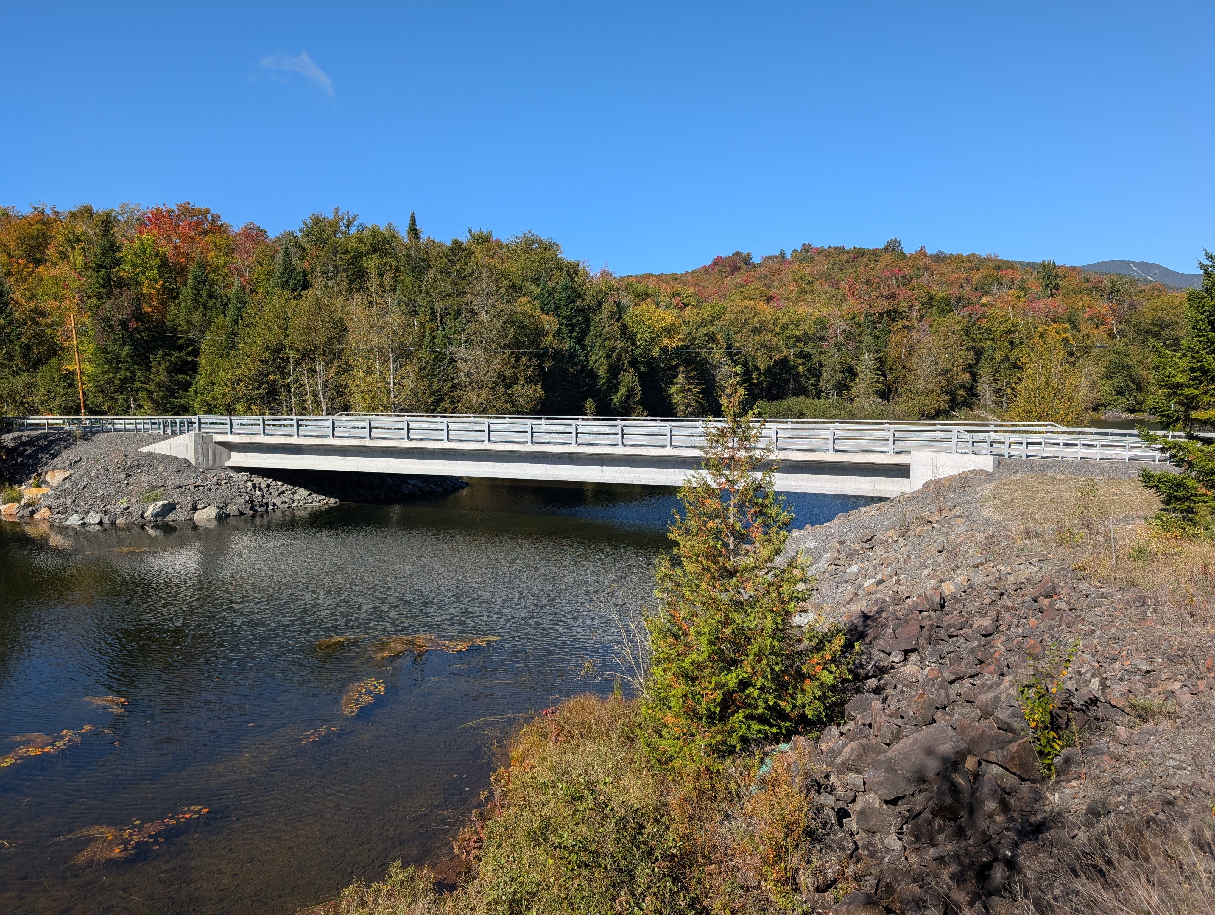
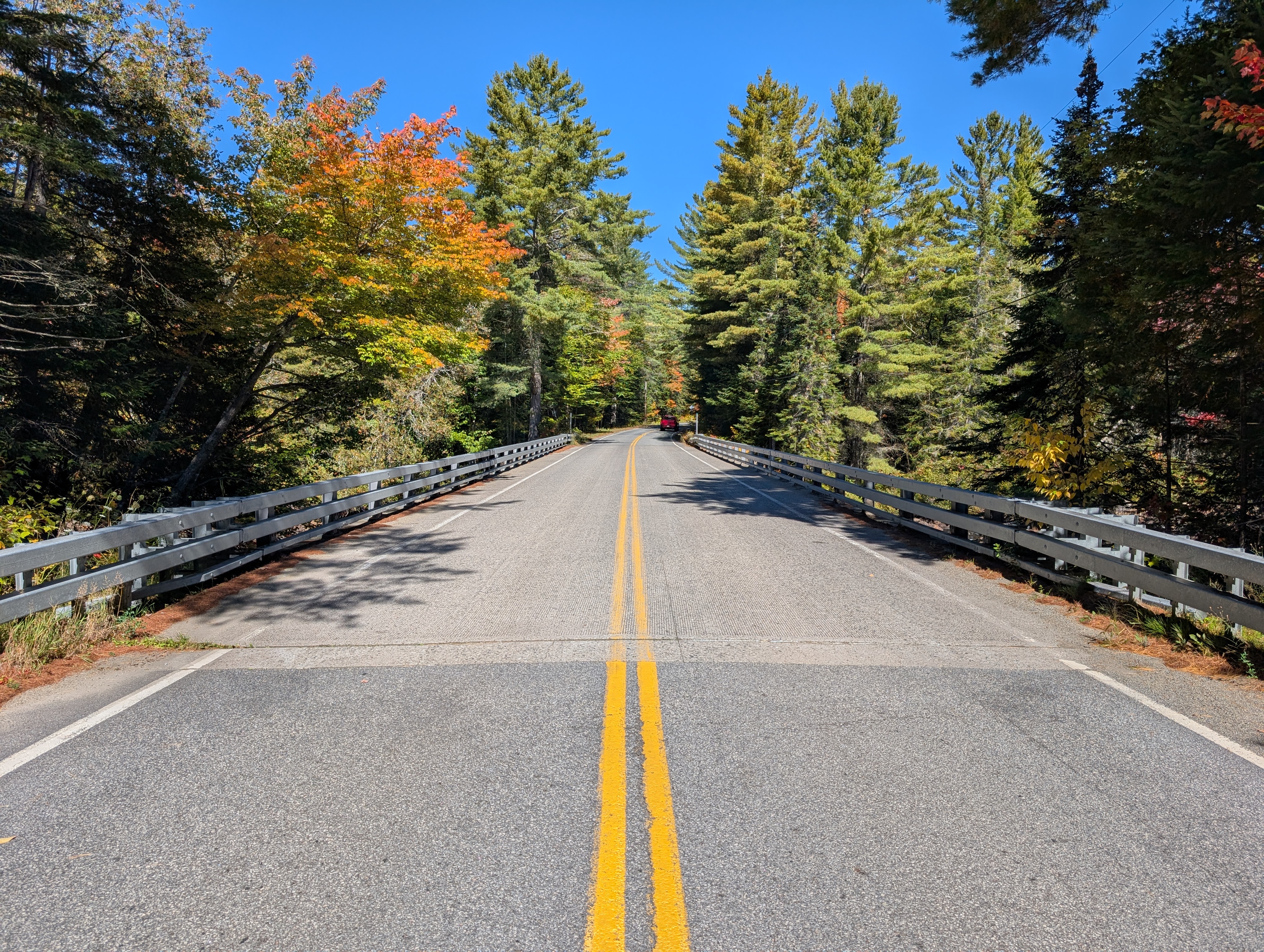
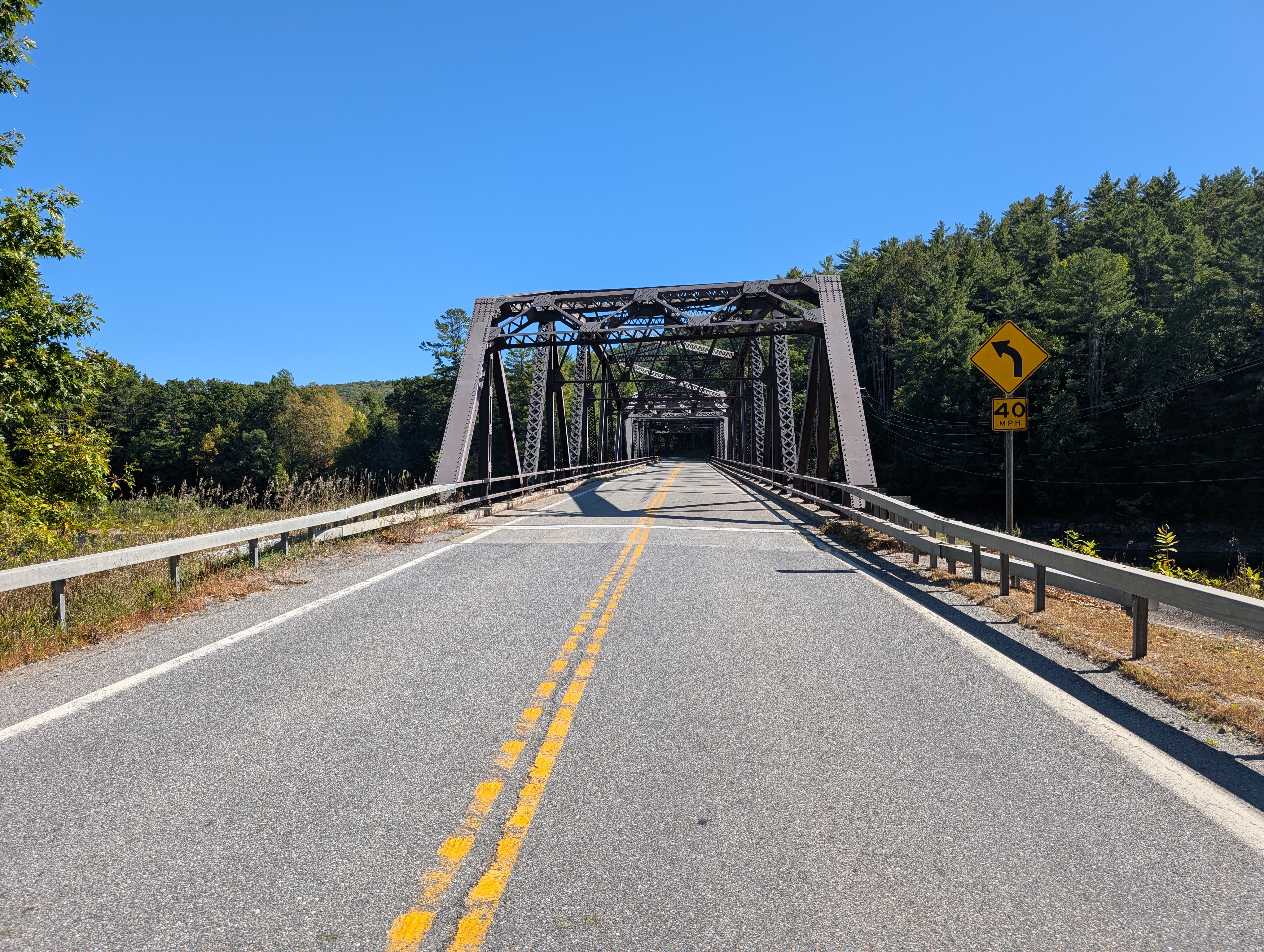
County Route 76
This bridge was under construction when I passed by for the eclipse in 2024, but was completed by September of 2025. It’s a pretty normal bridge, but it goes basically nowhere. When you cross it, whether you go straight or right, you’re greeted by a barrier within maybe a hundred yards. Going straight appears to be the same mine as the awful culvert; I’m not sure what’s to the south. Either way, it seems a remarkably significant piece of county infrastructure for what appears to be only two private landowners.
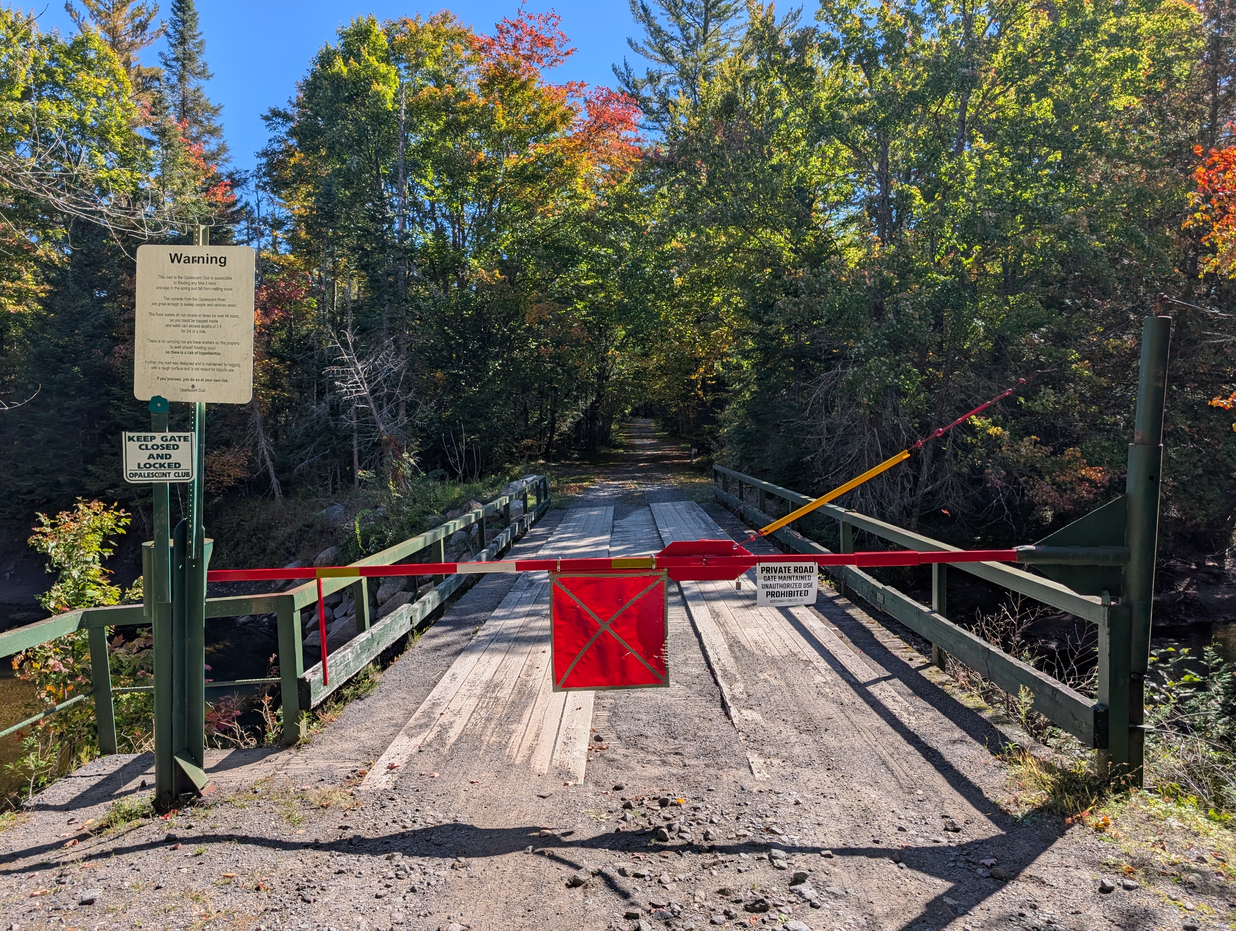
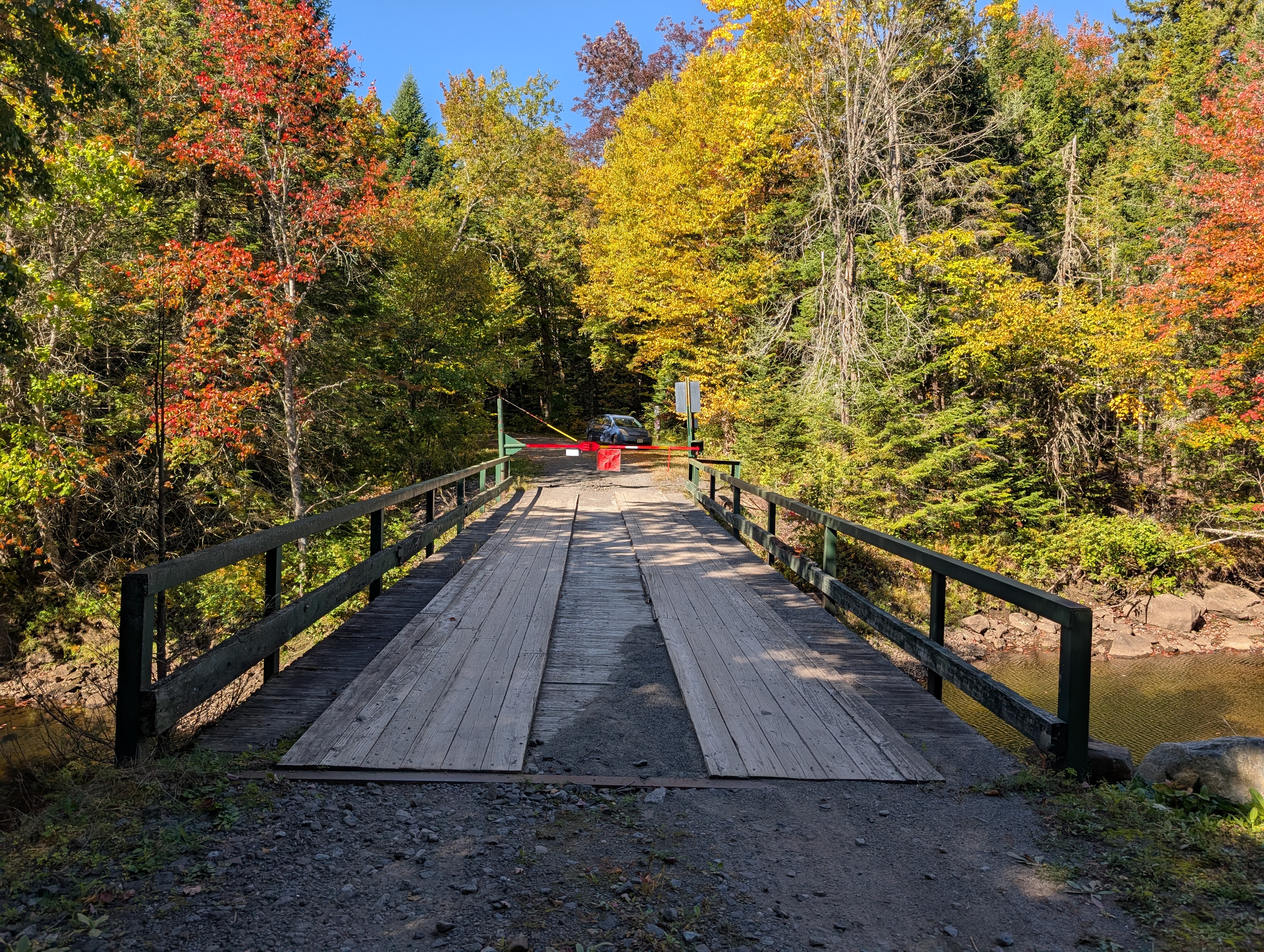
Opolescent Road
This is another private bridge, which appears to belong to a club of some sort. Again, I trespassed to cross it off my list. It’s a metal structure with a wooden surface, like the upper works trail bridge, but narrower, and with wooden railings on either side. A barrier blocks vehicle access on the east side, but with a walkway around it.
County Route 25
This bridge carries the road up to Tahawus.

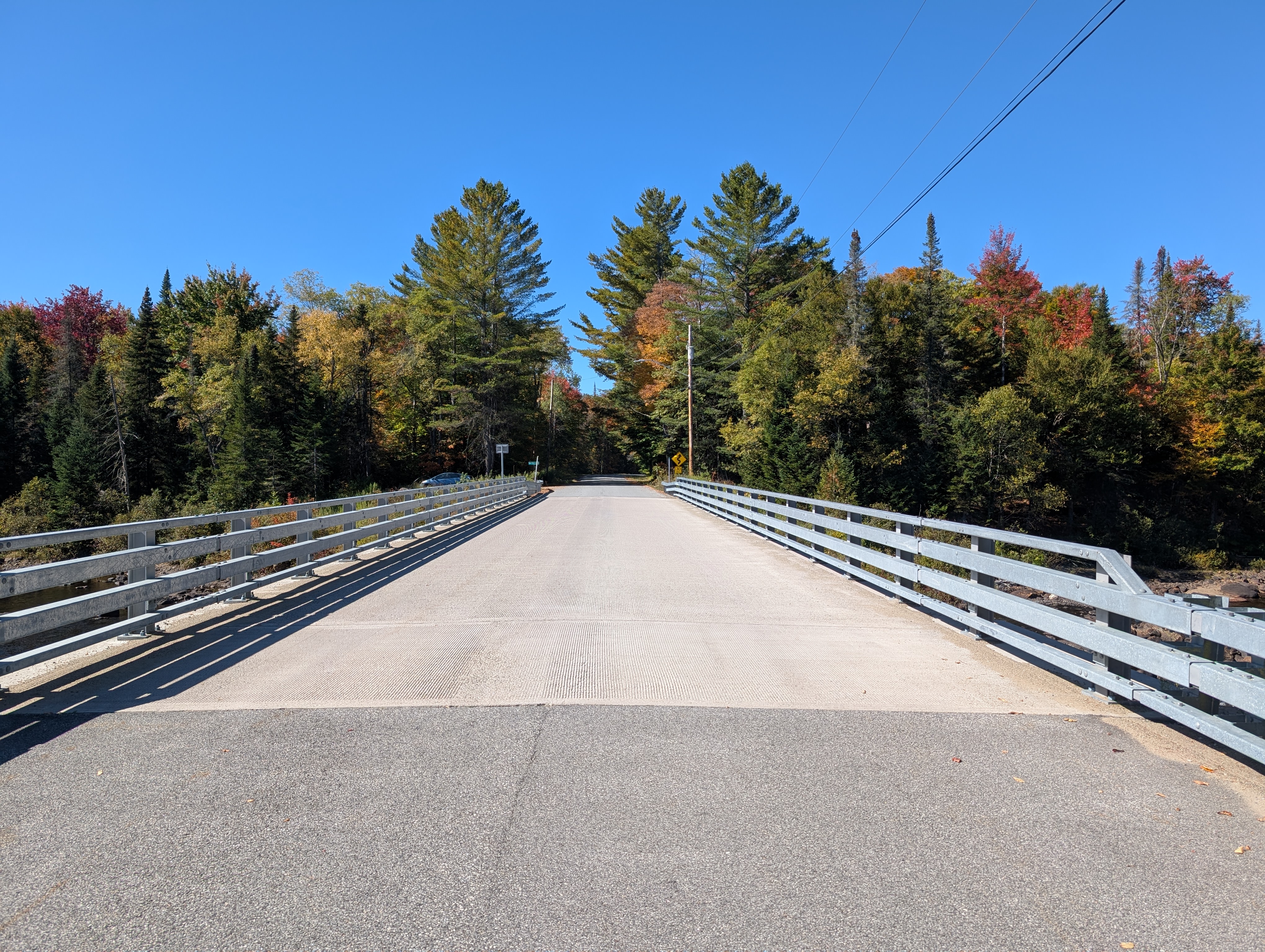
Campsite Road
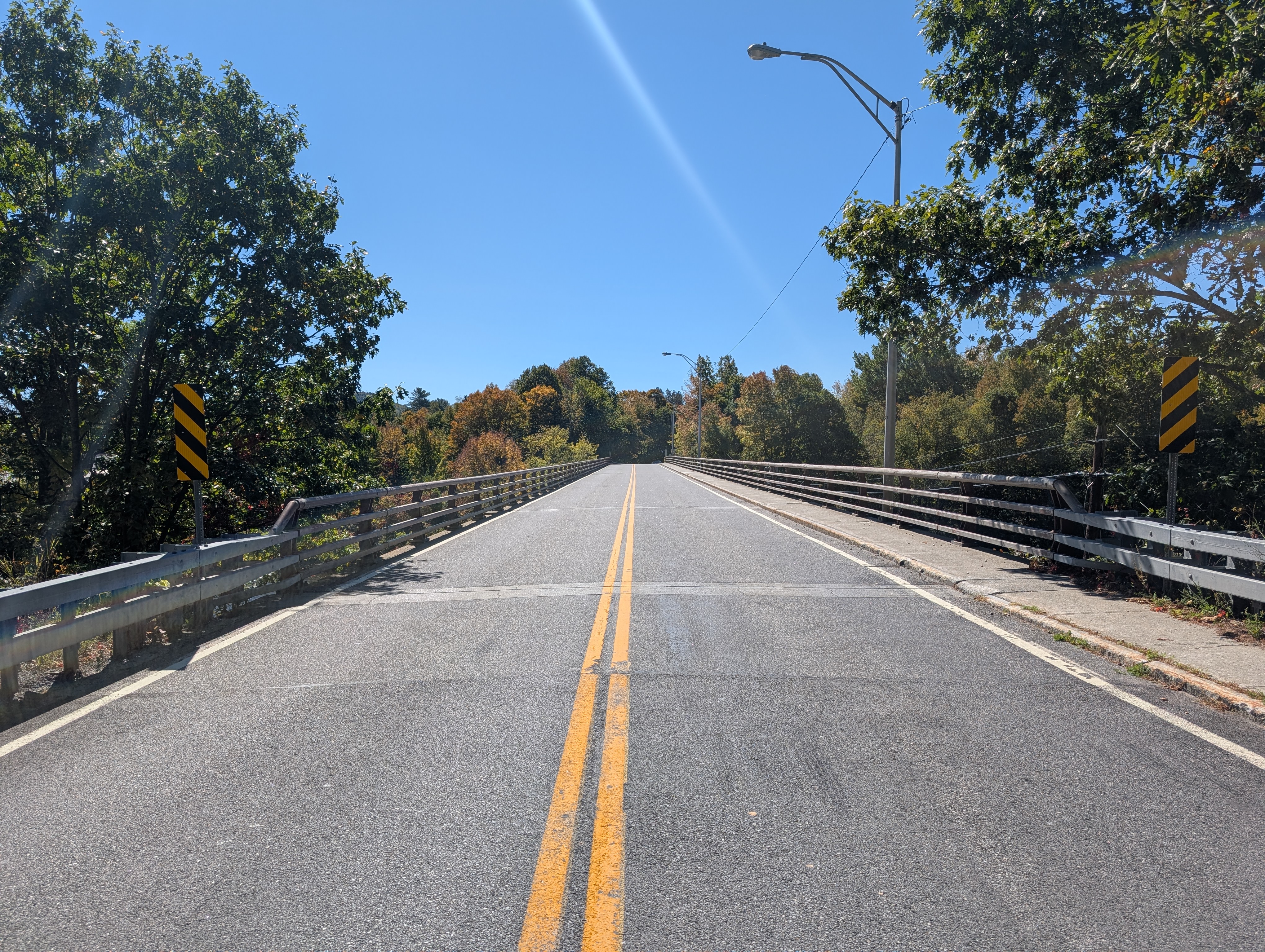
This might be the only public road bridge without any lane markings.

Newcomb
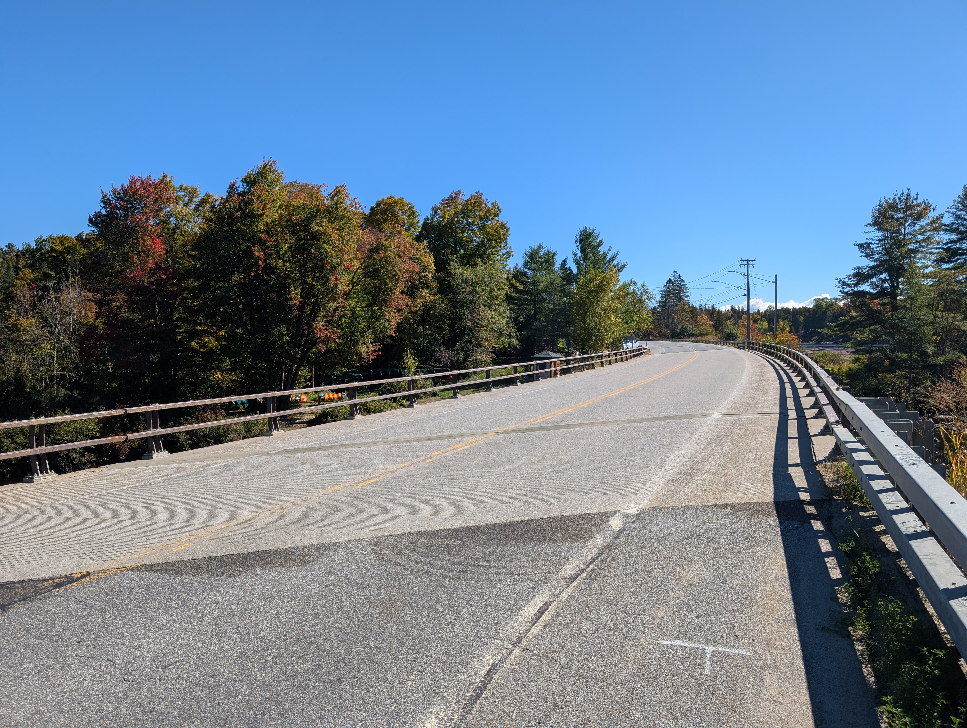
This bridge curves as it carries state route 28N over the river. On one side is a general store, where I was told the “b” in “Newcomb” is silent.
Polaris/Finch-Pruyn
This bridge was originally built by paper company Finch-Pruyn, to access logging lands on the other side of the river. It has since fallen into the state’s hands. I tried to visit in 2025, but it turns out Google is wrong about how close you can get by car. It’s about a 3 mile hike, and that’s more than I was feeling up to. I’ll get there someday.
Adirondack Railway
This old railway bridge is no longer used by trains, but there’s a company that offers excursions along the rails on pedal-powered contraptions. I’ll visit if I ever get my biking endurance up.
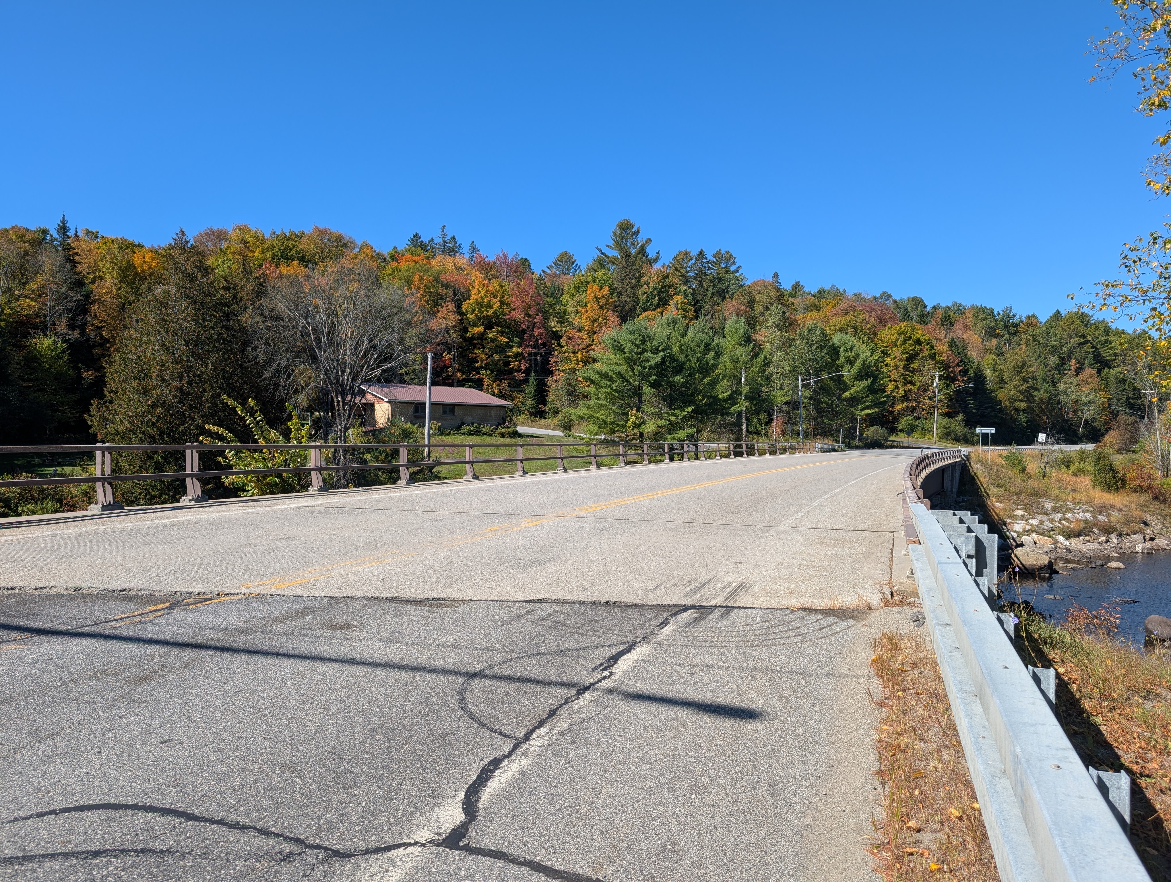
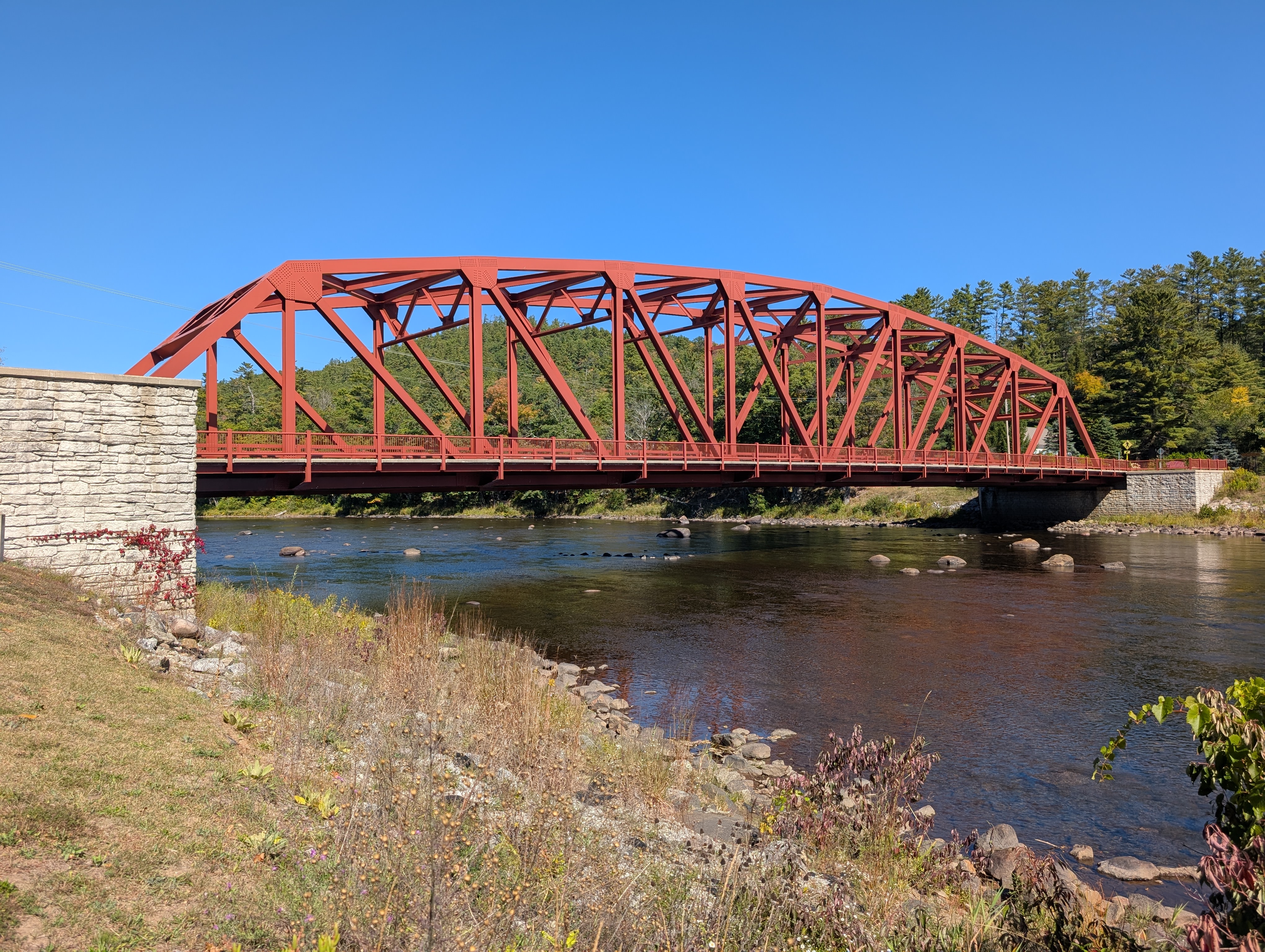
North Creek
This is the first bridge to have a separate sidewalk, and it’s only on one side. It carries state route 28N. There’s a lovely little trail that leads down below the bridge, to the abutment of the original bridge structure.
Riparius NY 8
tk
The Glen NY 28
tk
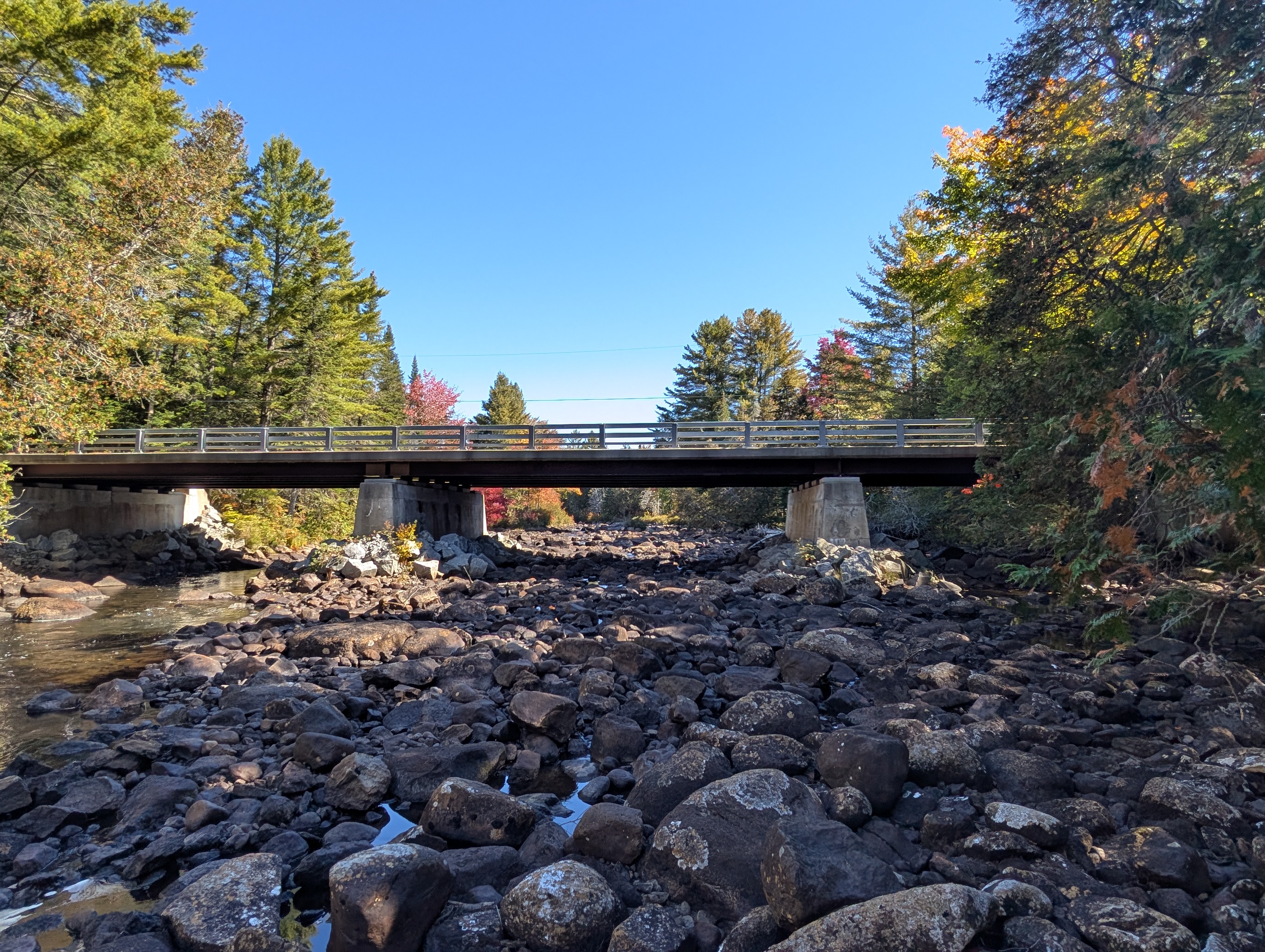
Thurman Station
tk
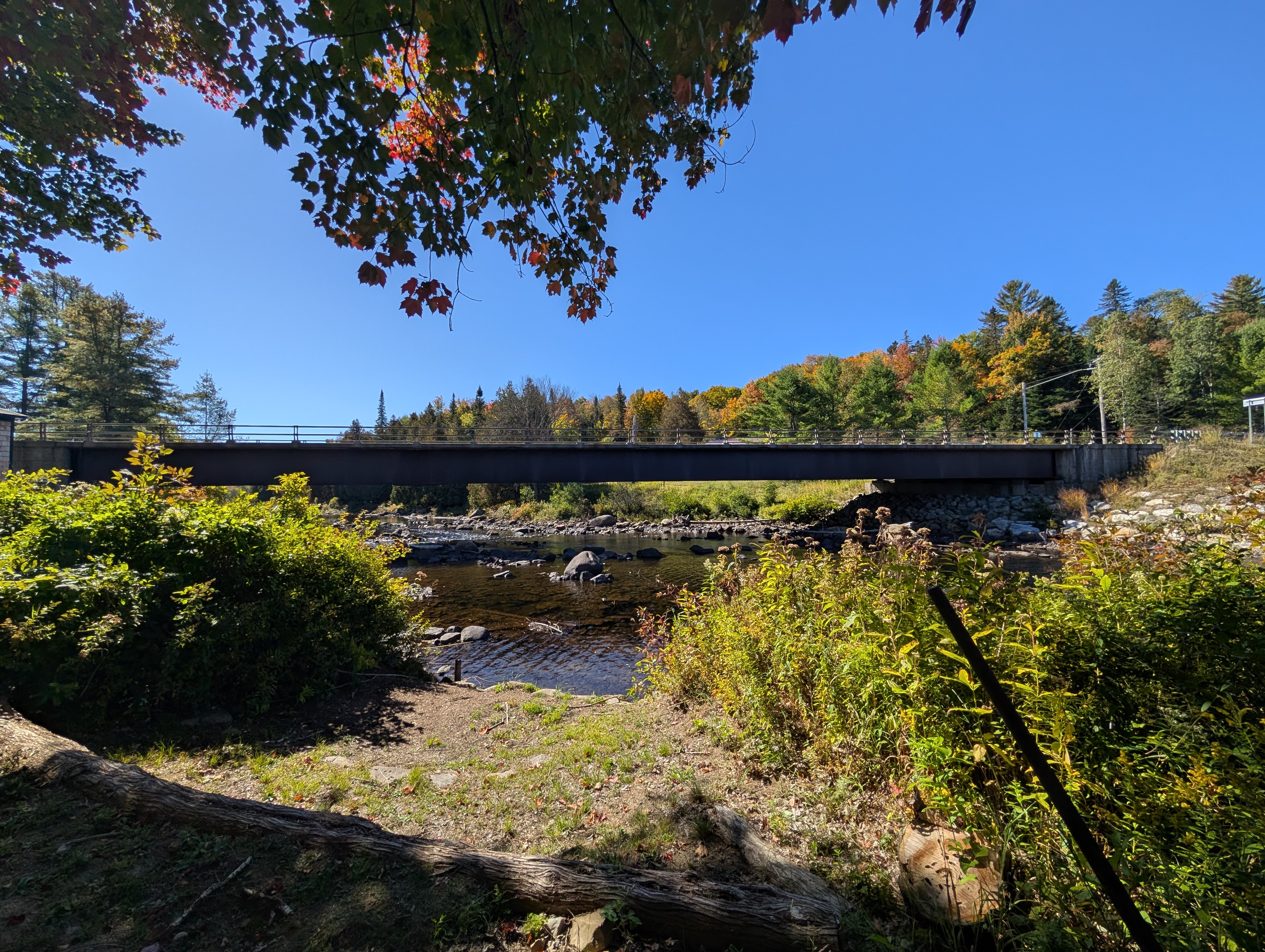
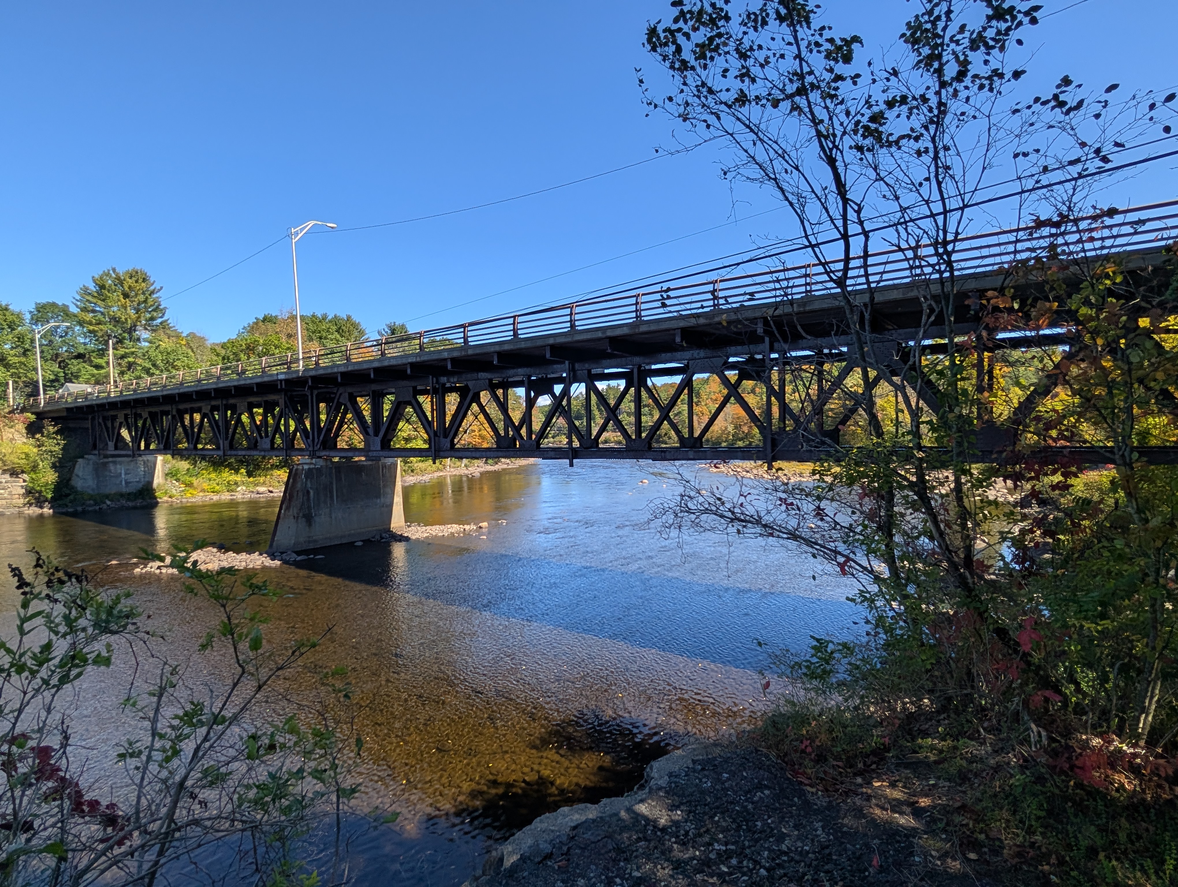
D&H Railway
This old Delaware & Hudson Railway bridge is no longer in use. It can be seen from the Thurman Station bridge, but I walked down in the river bed to get a closer picture.

CR 4/44
tk
9N
tk
Irving Densmore
tk
Champlain Canal segment
From Glen’s Falls, the river becomes canalized, as part of the waterway between the harbor and Lake Champlain.
Northway
This bridge carries the Adirondack Northway (Interstate 87) over the river. Pedestrians are not allowed. The Adirondack Welcome Center is just north of the bridge. I have crossed by car, but have not yet stopped to visit.
Cooper’s Cave
Glens Falls Mine
This private crossing of the river connects a mine to a factory processing its product. Sattelite images appear to show a conveyor belt system crossing the bridge. As it’s private, active, and not visible from any public roads, I have not visited.
Bakers Falls
tk
Fort Edward Road
tk
Fort Edward Rail
tk
Northumberland
tk
Dix
tk
Schuylerville
tk
Stillwater
tk
B&M
tk
Mechanicville
tk
Troy-Waterford
tk
112th Street
tk
Mohican segment
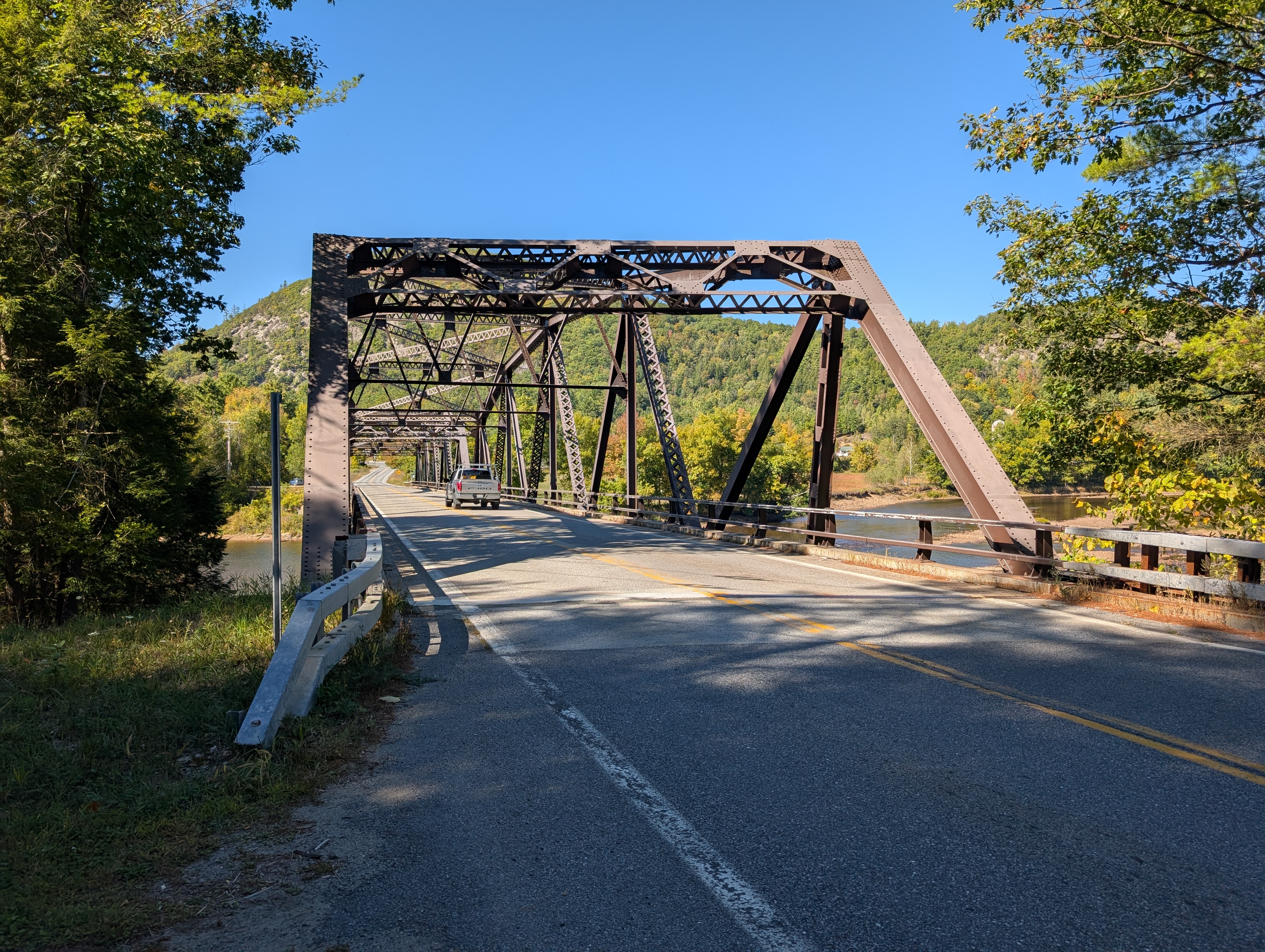
The Mohican people got their name from the phrase “Mohicanituck” meaning “the river that flows both ways”. This is indeed the distinctive and phenomenal feature of this part of the river. The river follows the tides, flowing upstream as the tide comes in. It’s also deep, allowing seafaring vessels to sail all the way to present-day Albany even on the first European voyage up it. Bridges are built high enough for large ships to sail under uninterrupted. This height, and the picturesque mountainous terrain the river cuts through, makes for some truly remarkable bridges.
Collar City
This freeway bridge carries NY-7, a freeway spur connecting Troy to the Northway. It’s an unremarkable girder bridge, with no pedestrian access. I haven’t visited yet.
Green Island
This lift bridge connects Troy to Starbuck Island, in the village of Green Island. The island of Green Island is now connected to the western shore of the river thanks to the construction of Interstate 787. Lift bridges are always neat, though I don’t believe this one is functional anymore. There are sidewalks on both sides of the bridge, integrating seamlessly into the landscape on either side (a significant benefit of lift bridges). Were it not for all the parking, the Troy side of that landscape would be quite nice, but the Starbuck Island side is a truly bleak stroad.
Congress Street
This bridge arcs over the river, and from it’s height there are great views of Troy, and the Corning Tower can be seen in the distance. There are sidewalks on both sides, which integrate seamlessly on the Watervliet side, and have reasonably short ramps on the Troy side. The Troy side is in the heart of a gorgeous and unusually well-preserved gilded-age industrial city. Unlike nearly all bridges on the river, there appears to be routine non-tourist use of the pedestrian facilities, and given the character of the neighborhoods on either end (but especially the Troy end), it’s no wonder why.
Troy-Menands
tk
Patroon Island
This high freeway bridge carries Interstate 90 over the river. It lacks pedestrian facilities. For my visit, I rode my e-bike up the trail from the south end of Albany to where it passes under the bridge. The structure is very similar to the I-35W bridge over the Mississippi that collapsed a while back. I suspect it will be up for replacement in the not-too-distant future.
Livingston Avenue
This swing bridge carries Amtrak over the Hudson. It was originally one of a pair of rail bridges at Albany. Trains bound for Albany’s union station crossed at the Maiden Lane bridge (near today’s Hudson River Way overpass), while this bridge was used for through freight. With the construction of 787, the train station was shoved to the wrong side of the river, and the Maiden Lane bridge demolished. The bridge lacks pedestrian facilities, but is readily viewed from the riverfront park. Regular passenger service makes it a good location for trainspotting.
Dunn Memorial
The notorious “bridge to nowhere” is part of an expansive system of freeways that was thankfully only ever half built. This was supposed to be part of a freeway running from I-90 in Rennselaer County, through the Empire State Plaza, to an unbuilt crosstown arterial between the Thruway’s exit 23 and the Loudonville/Arbor Hill interchange on I-90. It’s was hilariously unnecessary proposal, and public outcry stopped the project. But not before the construction of the remarkably bad Dunn bridge. On the Rensselaer side, the bridge ends abruptly where the continuation to I-90 was left unbuilt. 4 lanes each way becomes 2, following steep and tightly-curved ramps down to street level.
The whopping 8 wildly underused traffic lanes makes the narrow sidewalk on only the north side almost insulting. It’s accessed by long ramps on either side. On the Rennselaer side, there is a park beneath the ramps. It’s an interesting aesthetic, with the almost roller-coaster-like ramps looping overhead, but hopefully when it is replaced it will be with something not only infrastructure nerds can appreciate.
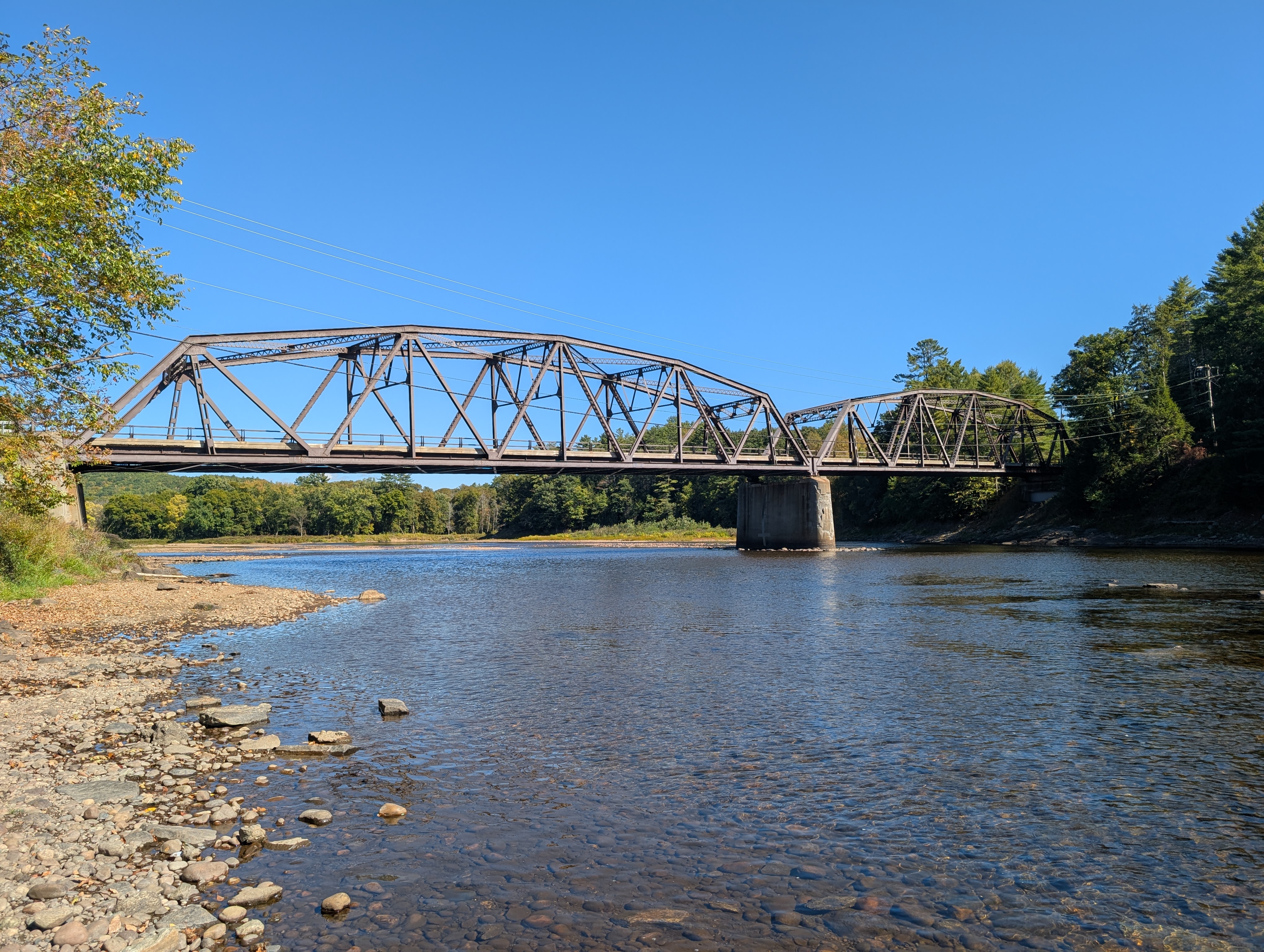
Coeymans Bridges
These bridges span between Coeymans and Castleton. Most call them the Castleton bridges, but as Coeymans is my home town and neither town is particularly connected to them anyway, I don’t. I grew up with these bridges. I remember passing under them on my grandfather’s boat as a kid, and this may be where my love of bridges was born.
As long as I have known them, they have been in a poor state. The highway bridge is pretty much constantly under construction and, where the access road for Schodack Island State Park passes under, there are signs warning that parts falling off the rail bridge is a common occurrence.
The state of these bridges is inexcusable given their importance. The rail bridge is the primary link between New England and the rest of the country. There is no longer any freight rail across the river to the south, and the next freight bridge to the north leads to a tunnel which is unable to handle double-stacked container cars. Despite not carrying the I-90 designation, traffic on the route which is not headed to Albany is directed to the highway bridge here, avoiding the congestion of the path that does bear the name.
The highway bridge bears a notable similarity to the old Tappan Zee bridge. Sections of the new Tappan Zee bridge were prefabricated in the port of Coeymans nearby and floated down the river. The port has handled quite a few bridge prefabs, including whole arch segments for the new Portal Bridge in New Jersey. I find this to be unbelievably cool, and would derive immense hometown pride from it even if said port were not on the former grounds of the Powell & Minnock Brick Company (yes relation).
My dream is that these bridges will soon be replaced with a combined span, built at the port, and featuring a comfortable bikeway with an elevator down to the park and bike route 9, which also passes under the bridge. This would connect Coeymans and Castleton as communities, and be a local tourist attraction as well.
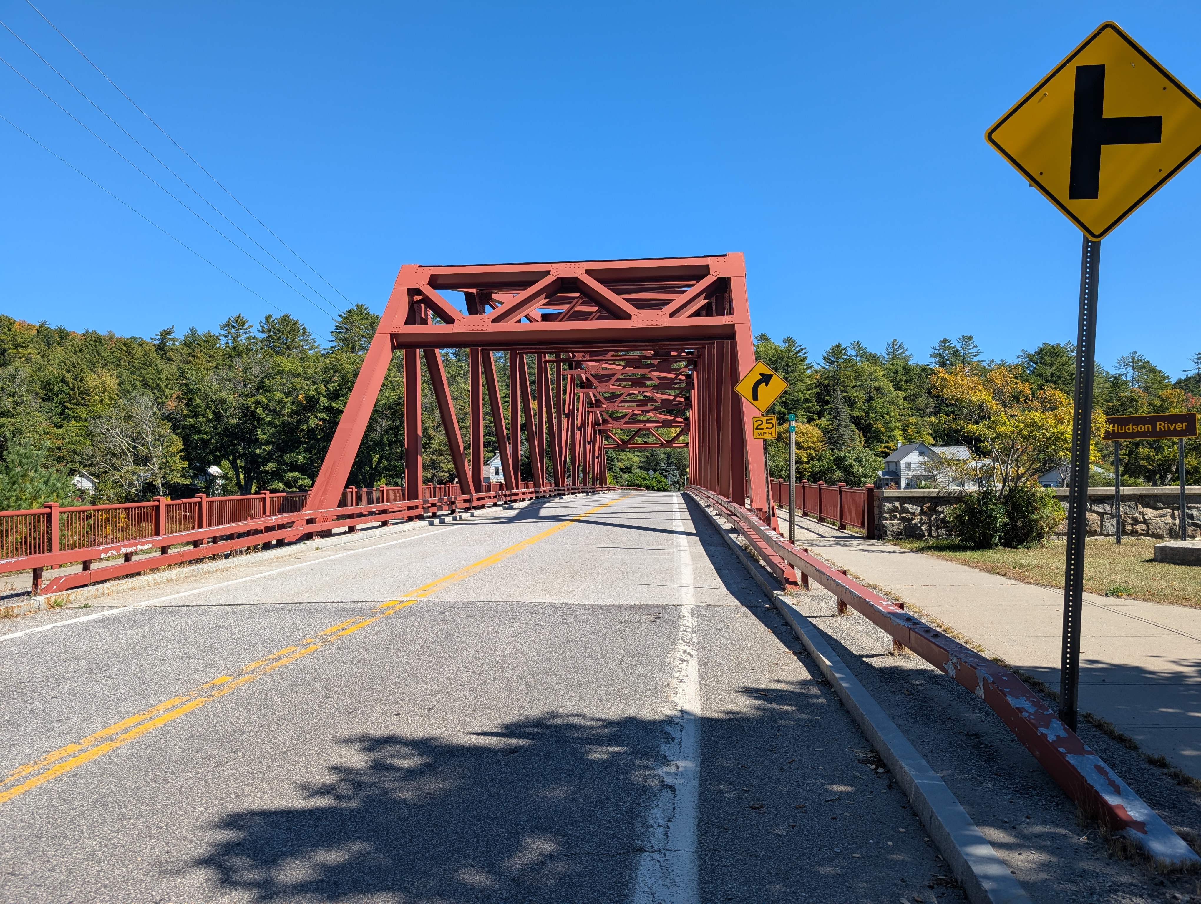
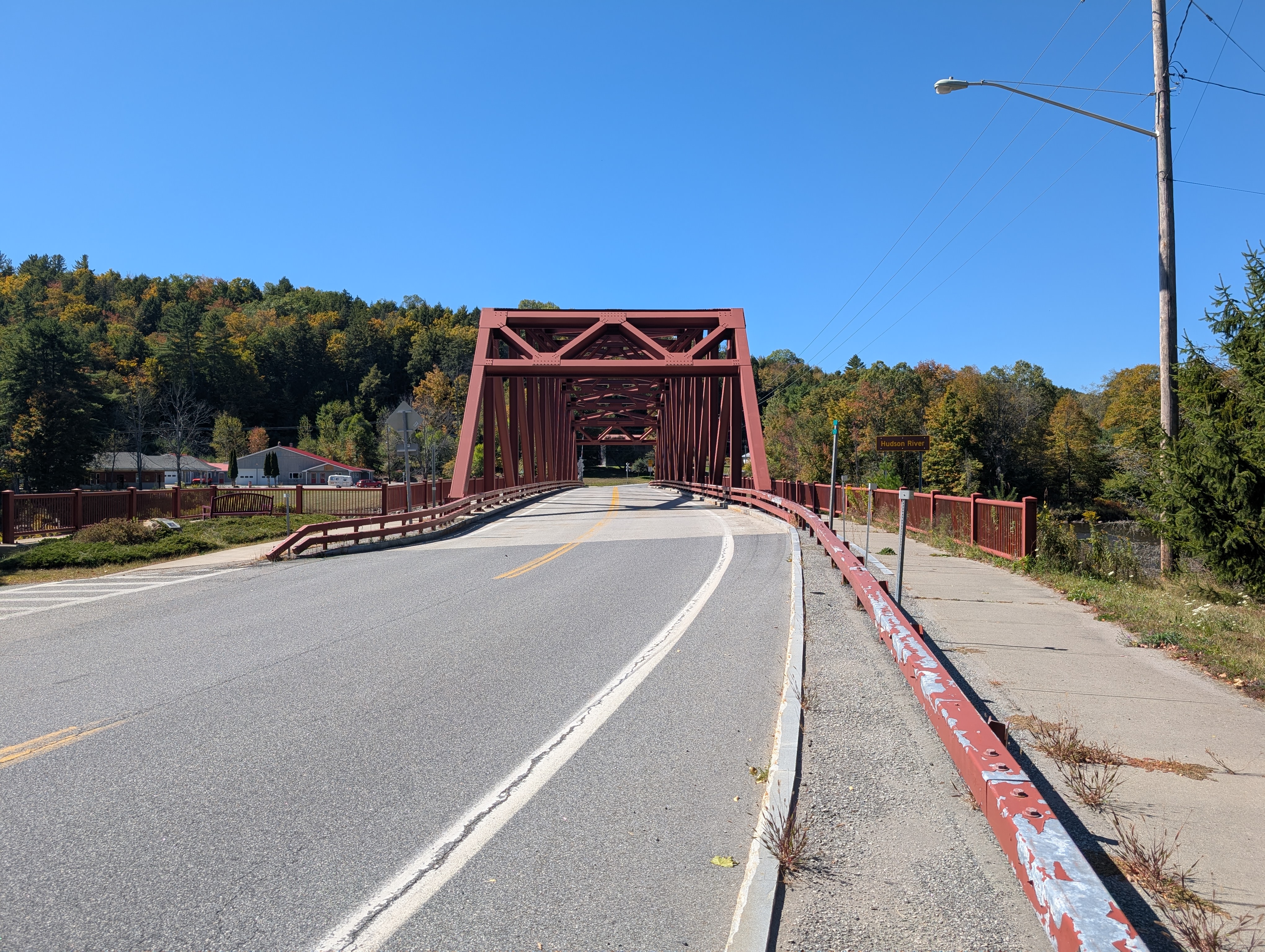
Rip Van Winkle
I love the story of Rip Van Winkle. I could, and probably should, write a whole piece about how much I love the story. (The short version is, a guy goes up into the hills and drinks himself into a long sleep. When he wakes up, the American Revolution has passed.) It’s the first time travel story in the western canon - Back to the Future but a century and a half early. It spurs the imagination of how the world has changed, and how it will continue to change in the future.
What would Rip Van Winkle think of the bridge named in his honor? He had never seen anything so large that was not crafted by God Himself. The horseless carriages that cross it would also be marvellous, as the world’s first successful combusion-powered transportation had only chugged up this very river 12 years before the publication of his story (and even that was still assisted by the wind).
He would be terrified crossing it. Even I felt a bit nervous. Every high bridge can trigger that animal instict that says the precipice isn’t safe. Not every high bridge rattles. The pedestrian path is also located outboard of the truss, with no surface amidst the truss, meaning there is nothing between you and the river but the railing on both sides. That said, if you can get past the call of the void, the views are stunning. There’s a reason this place was the home to a movement of realist landscape artists; Olana, the beautifully preserved home of artist Frederic Church, can be seen from the bridge.
Kingston-Rhinecliff
tk
Poughkeepsie Bridges
The first of these bridges was originally a railway bridge. It fell out of use with the decline of railways in the late 20th century, and was converted into an elevated park. There’s ample room for both walking and biking, which helps make walking it feel thoroughly secure. The western end passes beautifully through the tops of the trees as the ground slopes away down to the river. From the middle, the view of the Mid-Hudson Bridge to the south is beautifully backdropped by the mountains.
I’m going to have to revisit the Mid-Hudson Bridge. I felt very nervous crossing it, despite it being one of the better walkways I’ve tried. It was probably that I hadn’t gotten enough sleep. A musician made noises by hitting various parts of the bridge and sampled them, turning them into music which can be played from speakers by pressing buttons on the east tower. In my anxious state I found it loud and scary, but if I make it back in a calmer mood I’m sure I’ll find it interesting.
Newburgh-Beacon
tk. There’s a parallel ferry, between the two downtowns. Hopefully when I visit this bridge I remember to try out the ferry, too.
Bear Mountain
When built, this was the longest bridge in the world. It carries the Appalachian Trail over the river. This is the miracle that makes New York a state: a sea-level path through the very height of the mountains of the East Coast. I say God built the Erie Canal - humans merely built a towpath.
Saline segment
Because the river is tidal, salt from the ocean makes its way a bit up the river. The “salt front” - the point where it passes a threshold of salinity - moves up and down the river depending on various factors, generally falling somewhere between the Tappan Zee and Mid-Hudson bridges. For the sake of naming, though, I consider the saline segment to be everything below the Highlands.
Tappan Zee
tk
George Washington
tk
Lincoln Tunnel
tk
North River Tunnels
“North River” is a name sometimes applied to the Hudson, especially the part between the Tappan Zee and the southern tip of Manhattan. The name is in contrast to the Delaware - or South - River. New Jersey is the area between (and, initially, not inclusive of) the two rivers, with its northern border being a straight line roughly from the bottom of the Tappan Zee to a sharp 90 degree bend in the Delaware.
The tunnels are falling apart, but replacement efforts have been failing repeatedly for shortsighted political reasons. With any luck, the replacement tunnels will be open before anything too catastrophic happens. Experts say that if we wanted that luck, we probably should’ve started digging several years ago.
Uptown Hudson Tubes
tk
Holland Tunnel
tk
Downtown Hudson Tubes
tk
Honorable mention: Verrazzano Narrows
tk. Not technically on the Hudson, but it feels wrong to stop the tour just short of the ocean.
tags: